Related Images


Download:
| Tiny | 146x128 | View | Download |
| Small | 292x256 | View | Download |
| Medium | 585x512 | View | Download |
| Large | 1170x1024 | View | Download |
| Original tiff | 4960x4341 | View | Download |
| Original as jpg | 4960x4341 | View | Download |
This image was acquired from
wikimedia. It was marked as Public Domain or CC0 and is free to use. To verify, go to the source and check the information there.
Looking for more info about this image?
Try a Google Reverse Image Search for it.
Try a Google Reverse Image Search for it.
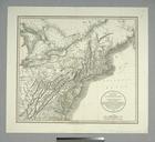
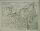
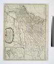
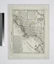
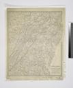
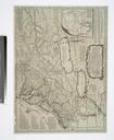
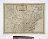
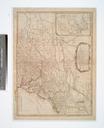
Keywords from Image Description:
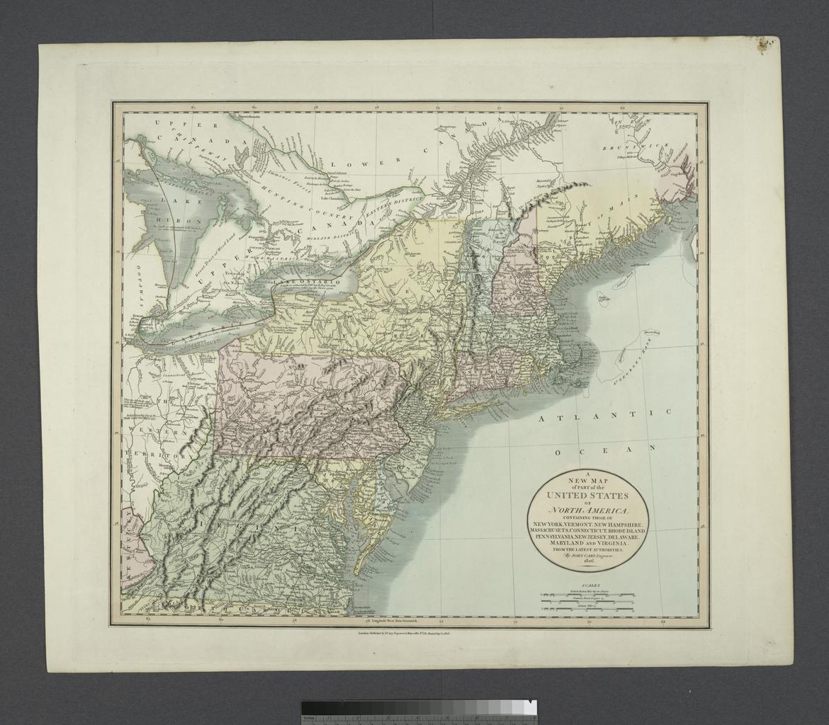
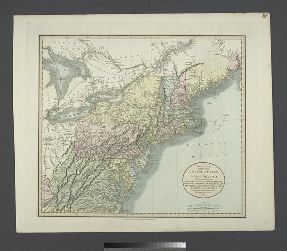
A new map of part of the United States of North America containing those of New York Vermont New Hampshire Massachusets Connecticut Rhode Island Pennsylvania New Jersey Delaware Maryland NYPL. map hand col cm Lawrence Slaughter Collection of English maps charts globes books and atlases Charts and maps Stephen Schwarzman Building