Related Images

Download:
| Tiny | 106x128 | View | Download |
| Small | 213x256 | View | Download |
| Medium | 426x512 | View | Download |
| Large | 853x1024 | View | Download |
| Original | 5248x6300 | View | Download |
This image was acquired from
wikimedia. It was marked as Public Domain or CC0 and is free to use. To verify, go to the source and check the information there.
Looking for more info about this image?
Try a Google Reverse Image Search for it.
Try a Google Reverse Image Search for it.
Keywords from Image Description:
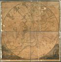
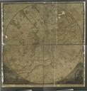
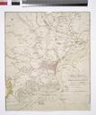
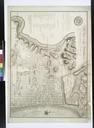
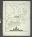
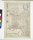
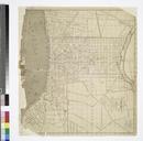
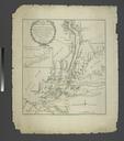
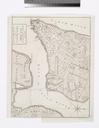
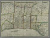
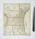
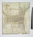
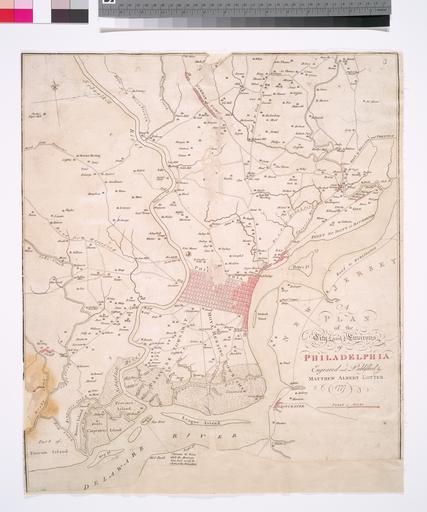
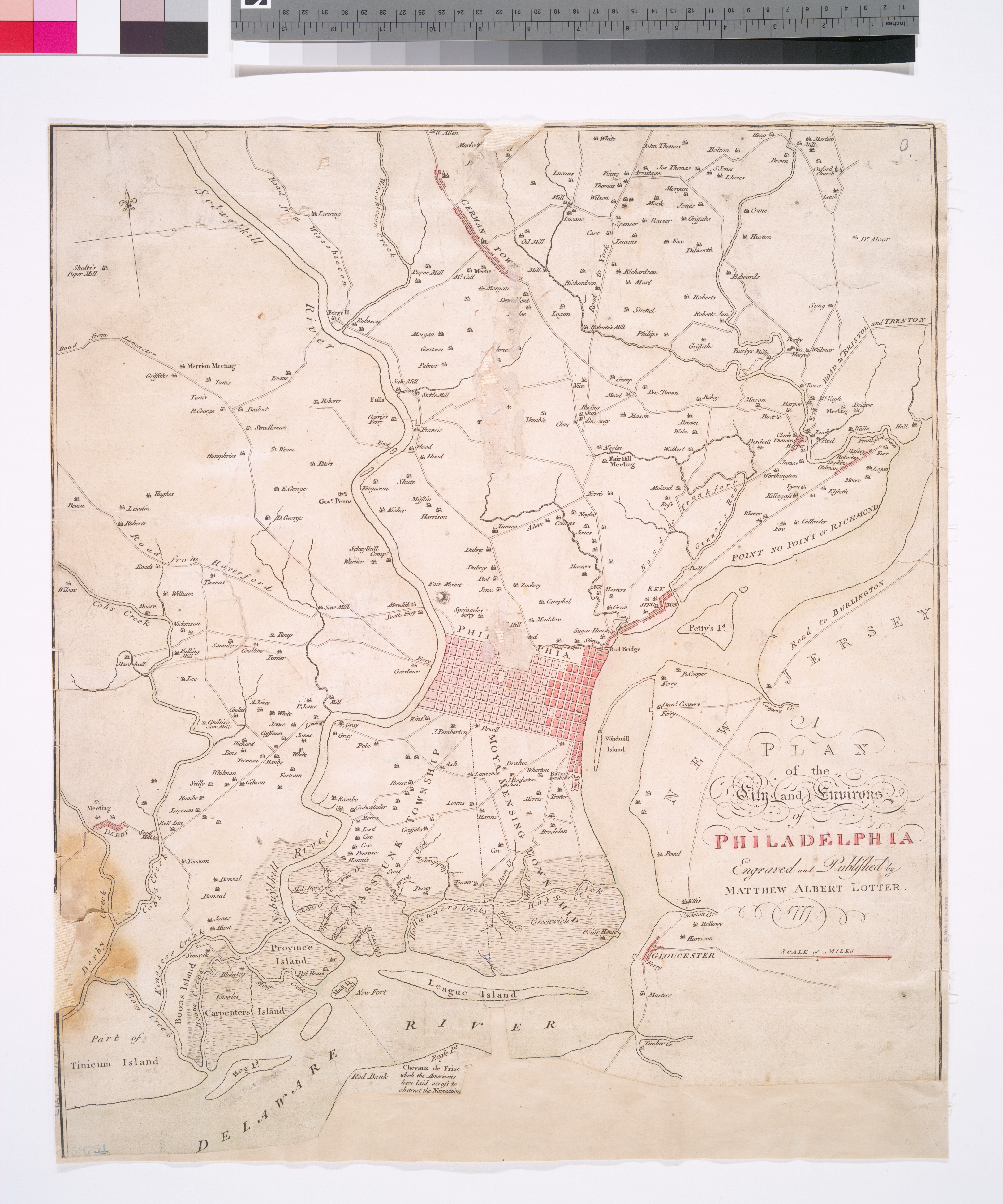
A plan of the city and environs of Philadelphia NYPL b. en Appears in the author's Atlas eographique NYPL copy in Map Div imperfect Elevation of the State House has been cut off and fragments from the center of the map are wanting National Endowment for the Humanities Grant for Access to Early Maps of the Middle Atlantic Seaboard