
Related Images


Download:
| Tiny | 150x128 | View | Download |
| Small | 300x256 | View | Download |
| Original png | 422x359 | View | Download |
| Original as jpg | 422x359 | View | Download |
This image was acquired from
wikimedia. It was marked as Public Domain or CC0 and is free to use. To verify, go to the source and check the information there.
Looking for more info about this image?
Try a Google Reverse Image Search for it.
Try a Google Reverse Image Search for it.
Keywords from Image Description:
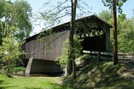
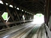
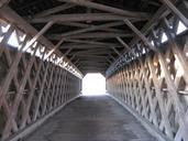
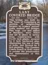
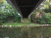
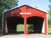
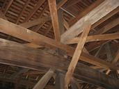
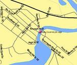
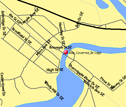
Ada Covered Bridge TIGER map. Map of the location of the Ada Covered Bridge in Ada Michigan USGS TIGER generated map census gov infact outfact act move on majroads on railroad on statehwy on streetnames on water tlevel tvar tmeth mlat mlon msym redpin mlabel AdaCoveredBridge murl lat lon wid ht conf mapnew