Related Images


Download:
| Tiny | 120x128 | View | Download |
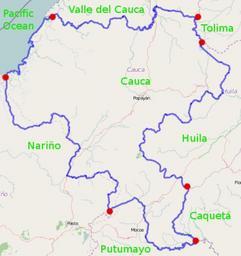
| Small | 240x256 | View | Download |
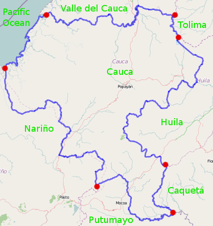
| Original png | 426x453 | View | Download |
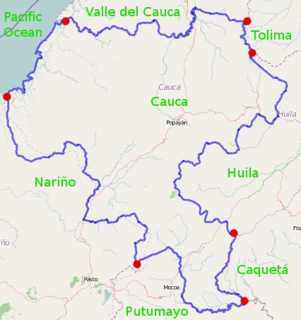
| Original as jpg | 426x453 | View | Download |
This image was acquired from
wikimedia. It was marked as Public Domain or CC0 and is free to use. To verify, go to the source and check the information there.
Looking for more info about this image?
Try a Google Reverse Image Search for it.
Try a Google Reverse Image Search for it.
Keywords from Image Description:
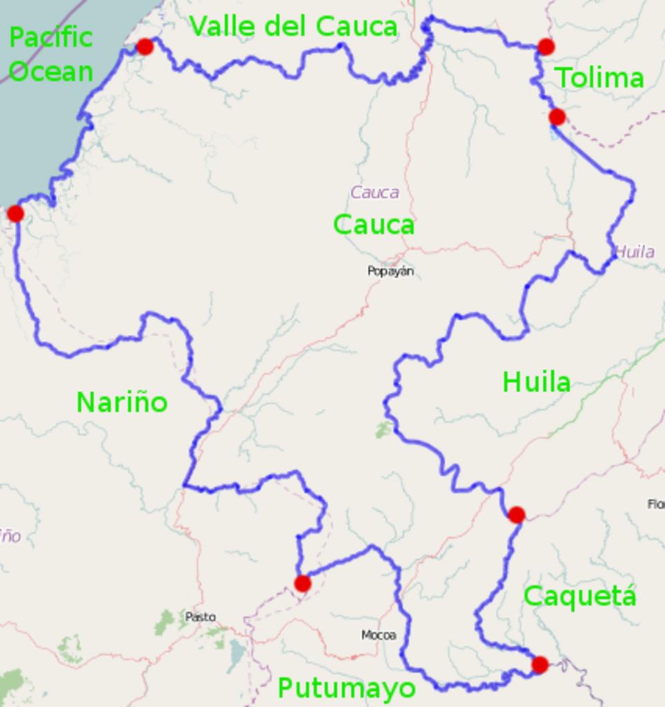
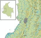
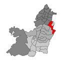
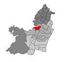
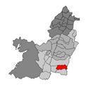
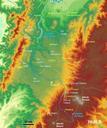
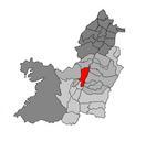
Administrative context for Cauca Department Colombia. en Created using MWSnap and GIMP Red dots indicate where administrative boundaries intersect The underlying image is from OpenStreetMap see openstreetmap org lat lon zoom layers relation own Ceyockey cczero Uploaded with Maps of Cauca Department