
Related Images


Download:
| Tiny | 161x128 | View | Download |
| Small | 323x256 | View | Download |
| Medium | 646x512 | View | Download |
| Large | 1292x1024 | View | Download |
| Original | 3000x2377 | View | Download |
This image was acquired from
wikimedia. It was marked as Public Domain or CC0 and is free to use. To verify, go to the source and check the information there.
Looking for more info about this image?
Try a Google Reverse Image Search for it.
Try a Google Reverse Image Search for it.
Keywords from Image Description:
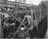
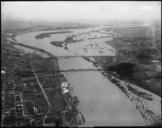
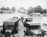
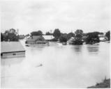
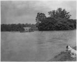
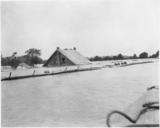
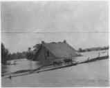
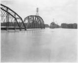
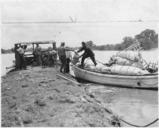
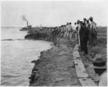
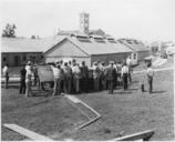
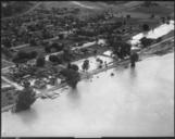
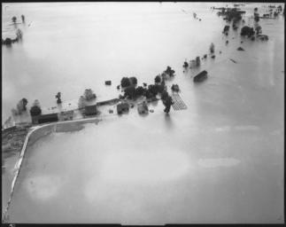
Aerial photograph of flood unidentified stretch of lower Mississippi River. NARA . Scope and content Inundated farm only buildings and few trees and small sections of fields are visible above the water General notes Local identifier Department of Defense Department of the Army Office of the Chief of Engineers St Louis District