
Related Images


Download:
| Tiny | 195x128 | View | Download |
| Small | 391x256 | View | Download |
| Medium | 783x512 | View | Download |
| Original | 820x536 | View | Download |
This image was acquired from
wikimedia. It was marked as Public Domain or CC0 and is free to use. To verify, go to the source and check the information there.
Looking for more info about this image?
Try a Google Reverse Image Search for it.
Try a Google Reverse Image Search for it.
Keywords from Image Description:
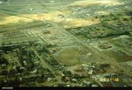
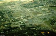
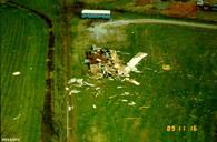
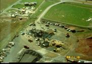
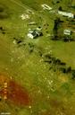
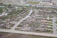
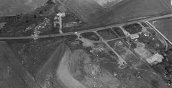
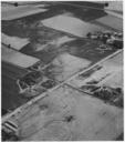
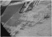
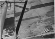
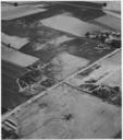
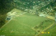
Aerial view after the Huntsville Tornado. en Damage from the November tornado to strike Huntsville Alabama This aerial photograph shows the demolished Jones Valley Elementary School top left looking northwest section of Jones Farm is enclosed on the west by downed high voltage lines which crossed the hill alongside Carl Jones