Download:
| Tiny | 86x128 | View | Download |
| Small | 172x256 | View | Download |
| Medium | 345x512 | View | Download |
| Large | 690x1024 | View | Download |
| Original | 2024x3000 | View | Download |
This image was acquired from
wikimedia. It was marked as Public Domain or CC0 and is free to use. To verify, go to the source and check the information there.
Looking for more info about this image?
Try a Google Reverse Image Search for it.
Try a Google Reverse Image Search for it.
Keywords from Image Description:
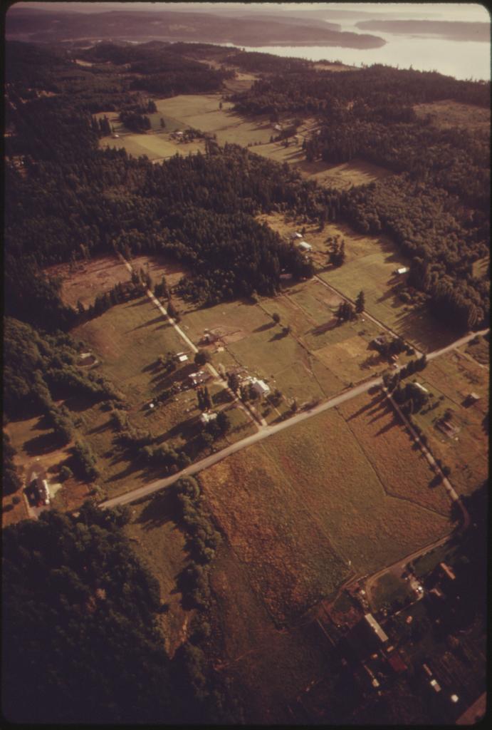
AERIAL VIEW OF THE CENTRAL VALLEY QUADRANGLE WHICH IS BOUNDED BY TRACYTON ILLAHEE BROWNSVILLE AND SILVERDALE. THESE... NARA . Scope and content General notes Local identifier DA Environmental Protection Agency NARAPlace Seattle King county Washington United States North and Central America inhabited place File AERIALVIEWOFTHECENTRALVALLEYQUADRANGLEWHICHISBOUNDEDBYTRACYTON


