Related Images

Download:
| Tiny | 160x128 | View | Download |
| Small | 321x256 | View | Download |
| Medium | 643x512 | View | Download |
| Original | 980x780 | View | Download |
This image was acquired from
wikimedia. It was marked as Public Domain or CC0 and is free to use. To verify, go to the source and check the information there.
Looking for more info about this image?
Try a Google Reverse Image Search for it.
Try a Google Reverse Image Search for it.
Keywords from Image Description:
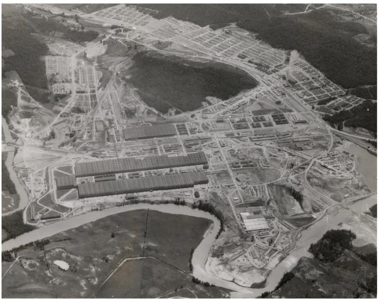
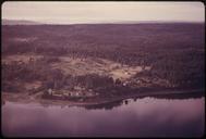
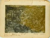
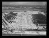
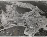
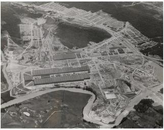
Aerial View of K. This aerial photograph depicts and the surrounding area was one of the uranium enrichment facilities at Oak Ridge that produced uranium for the Manhattan Project was horseshoe shaped and covered an area of acres In the upper part of the photograph can be seen Happy Valley which was the residential area where construction