
Related Images


Download:
| Tiny | 170x128 | View | Download |
| Small | 341x256 | View | Download |
| Medium | 682x512 | View | Download |
| Large | 1365x1024 | View | Download |
| Original | 3264x2448 | View | Download |
This image was acquired from
wikimedia. It was marked as Public Domain or CC0 and is free to use. To verify, go to the source and check the information there.
Looking for more info about this image?
Try a Google Reverse Image Search for it.
Try a Google Reverse Image Search for it.
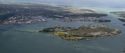
Keywords from Image Description:
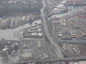
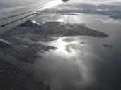
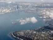
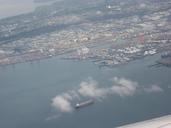
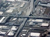
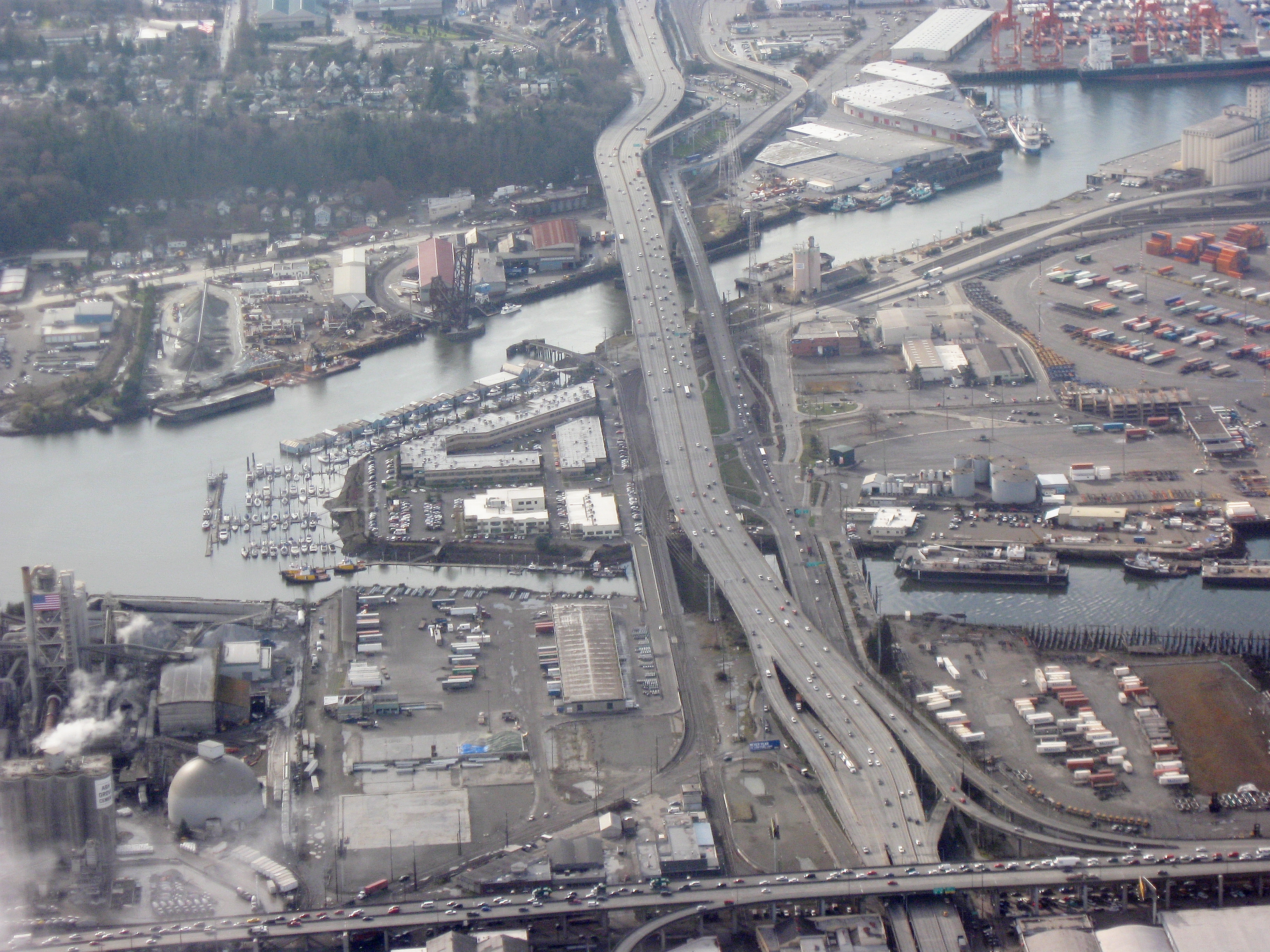
Aerial view of Seattle Freeway crossing Harbor Island. en Closeup aerial view of West Seattle Freeway crossing Harbor Island in Seattle looking west The Duwamish Waterway surrounds it The highway running along the bottom is Highway Own Dcoetzee region US Aerial photographs of Seattle Roads in Washington state Washington