Related Images


Download:
| Tiny | 96x128 | View | Download |
| Small | 193x256 | View | Download |
| Medium | 386x512 | View | Download |
| Large | 773x1024 | View | Download |
| Original png | 4729x6261 | View | Download |
| Original as jpg | 4729x6261 | View | Download |
This image was acquired from
wikimedia. It was marked as Public Domain or CC0 and is free to use. To verify, go to the source and check the information there.
Looking for more info about this image?
Try a Google Reverse Image Search for it.
Try a Google Reverse Image Search for it.
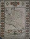
Keywords from Image Description:
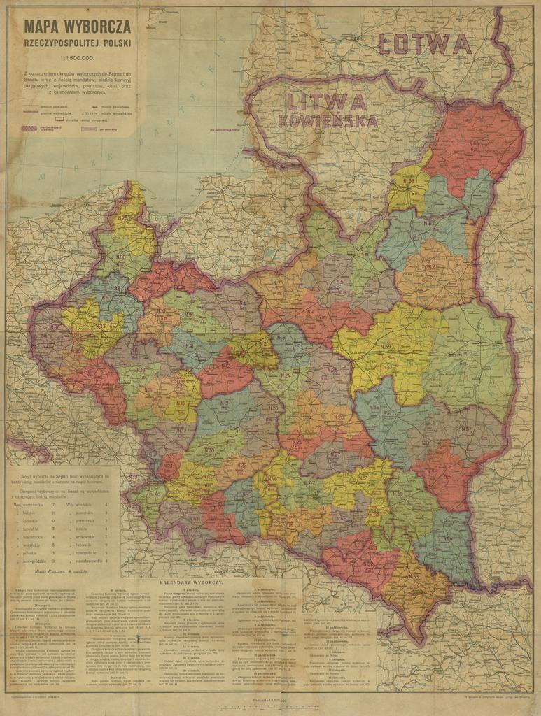
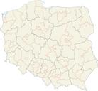
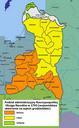
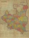
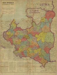
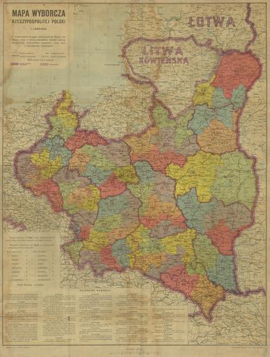
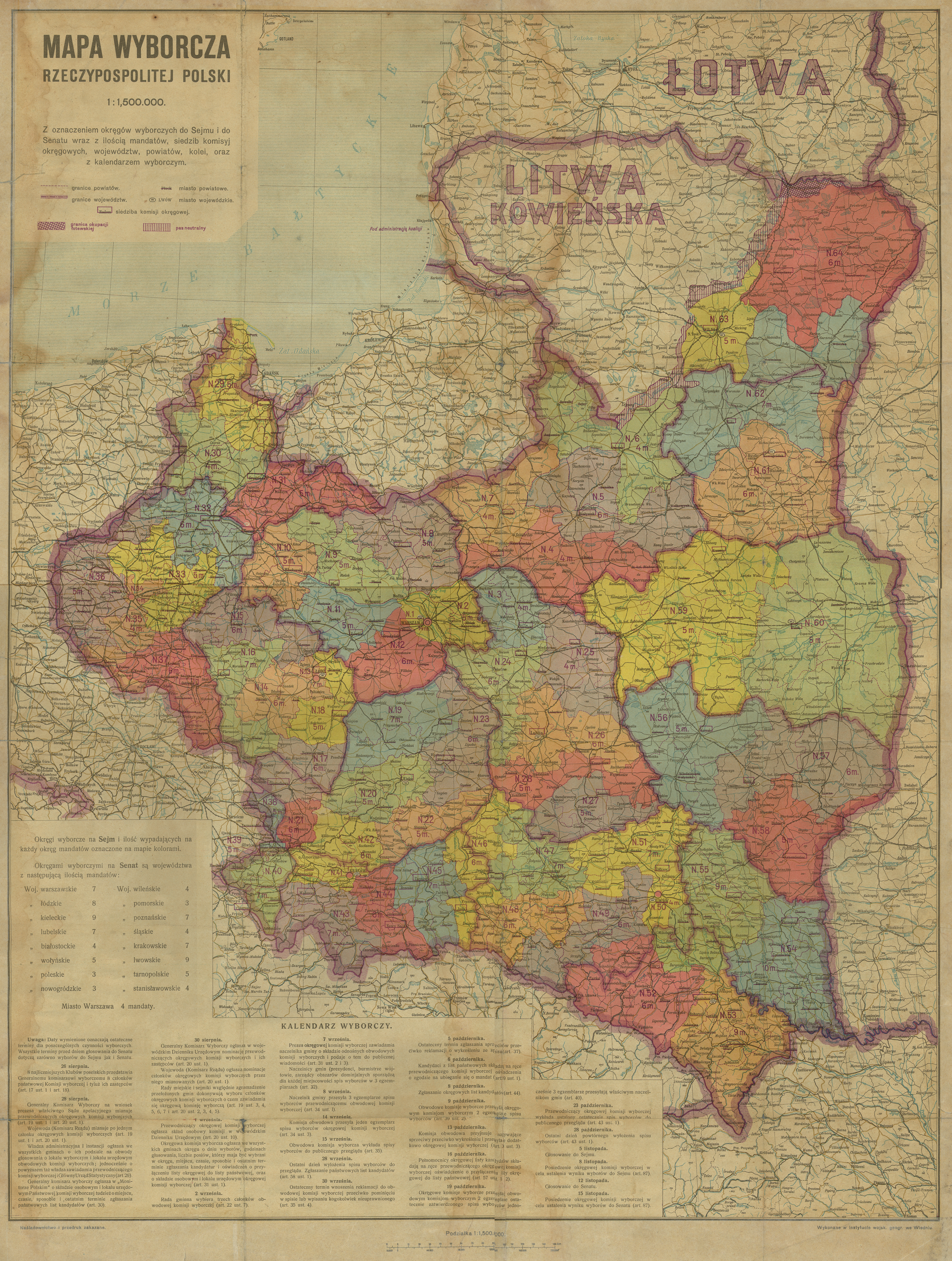
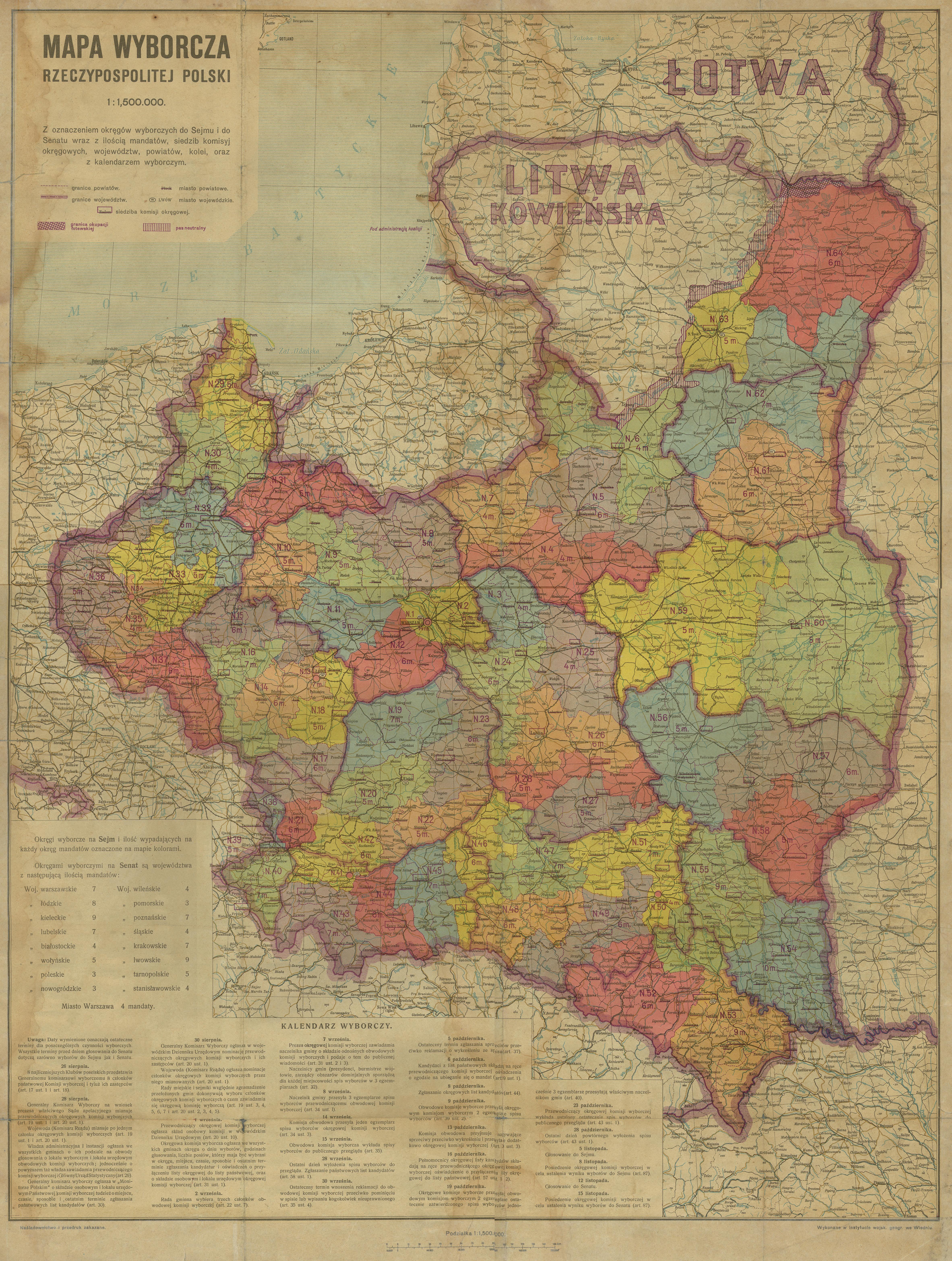
AGAD mapa Polski podzialem na okregi wyborcze . Mapa okrgw wyborczych wyborach parlamentarnych roku Archiwum Gwne Akt Dawnych author PDold Maps of parliamentary constituencies in Poland Media contributed by AGAD presented in former polska pl portal Uploaded with VicuaUploader