Related Images


Download:
| Tiny | 101x128 | View | Download |
| Small | 203x256 | View | Download |
| Original png | 338x426 | View | Download |
| Original as jpg | 338x426 | View | Download |
This image was acquired from
wikimedia. It was marked as Public Domain or CC0 and is free to use. To verify, go to the source and check the information there.
Looking for more info about this image?
Try a Google Reverse Image Search for it.
Try a Google Reverse Image Search for it.
Keywords from Image Description:
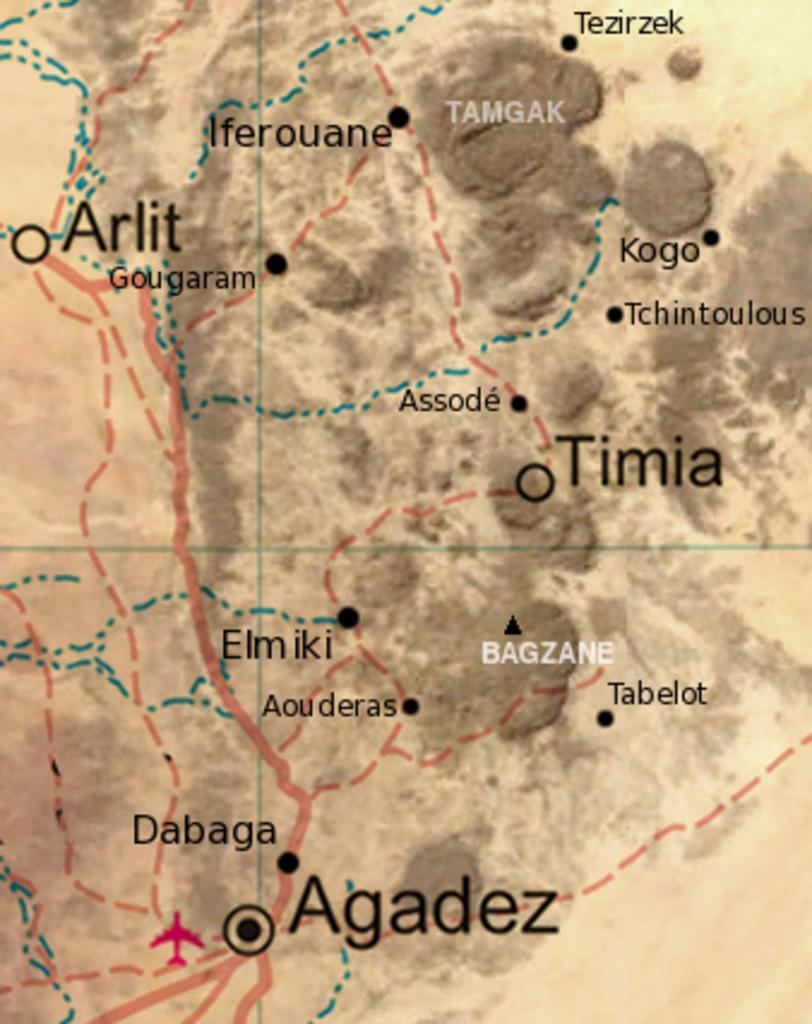
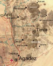
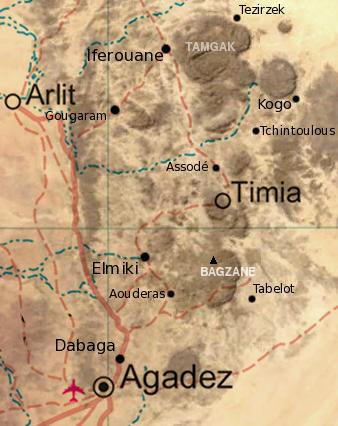
Air massif sat map south. Map of the southern half of the Air Massif northern Niger Created from an overlay of PD File Unniger and PD File NigerBMNG plus map locations derived from fallingrain NigerBMNG UTC derivative work Miles talktalk December UTC NigerBMNG original upload log This image is derivative work of the following