
Related Images


Download:
| Tiny | 175x128 | View | Download |
| Small | 350x256 | View | Download |
| Medium | 701x512 | View | Download |
| Original | 993x725 | View | Download |
This image was acquired from
wikimedia. It was marked as Public Domain or CC0 and is free to use. To verify, go to the source and check the information there.
Looking for more info about this image?
Try a Google Reverse Image Search for it.
Try a Google Reverse Image Search for it.
Keywords from Image Description:
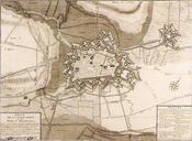
AiresurlaLys map. fr Plan de la ville d'Aire en Scanning from Karl Michael Hoin's AiresurlaLys au temps des fortifications Pierre Devel PDold AiresurlaLys