
Related Images


Download:
| Tiny | 103x128 | View | Download |
| Small | 207x256 | View | Download |
| Medium | 414x512 | View | Download |
| Original | 447x552 | View | Download |
This image was acquired from
wikimedia. It was marked as Public Domain or CC0 and is free to use. To verify, go to the source and check the information there.
Looking for more info about this image?
Try a Google Reverse Image Search for it.
Try a Google Reverse Image Search for it.
Keywords from Image Description:
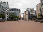
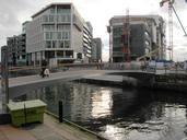
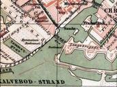
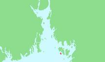
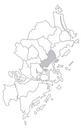
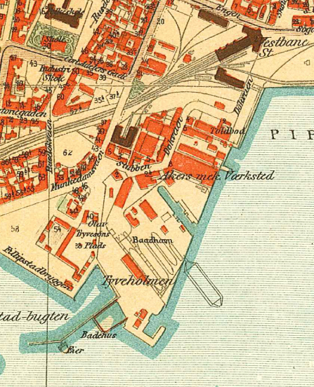
Aker Brygge map . Kart over Aker Brygge og Tjuvholmen Kart over Kristiania udarbeidet av Byens Opmaalingsvsen Kristiania Opmaalingsvesen PDold Old maps of Oslo Aker Brygge Tjuvholmen