
Related Images


This image was acquired from
wikimedia. It was marked as Public Domain or CC0 and is free to use. To verify, go to the source and check the information there.
Looking for more info about this image?
Try a Google Reverse Image Search for it.
Try a Google Reverse Image Search for it.
Keywords from Image Description:
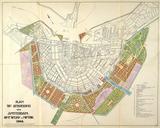
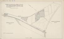
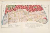
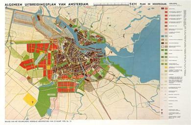
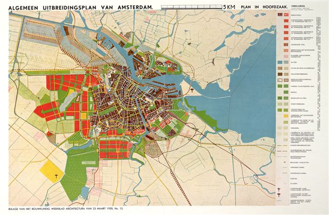
Algemeen uitbreidingsplan amsterdam. Plankaart van het Algemeen Uitbreidingsplan voor Amsterdam De nieuwe woongebieden zijn met rood ingekleurd nl Ronald nl This image is in the public domain due to its age PDold original upload log page nl Algemeenuitbreidingsplanamsterdam Ronald bytes no History of Amsterdam Maps of