Related Images


Download:
| Tiny | 179x128 | View | Download |
| Small | 359x256 | View | Download |
| Medium | 719x512 | View | Download |
| Large | 1438x1024 | View | Download |
| Original | 2400x1708 | View | Download |
This image was acquired from
wikimedia. It was marked as Public Domain or CC0 and is free to use. To verify, go to the source and check the information there.
Looking for more info about this image?
Try a Google Reverse Image Search for it.
Try a Google Reverse Image Search for it.
Keywords from Image Description:
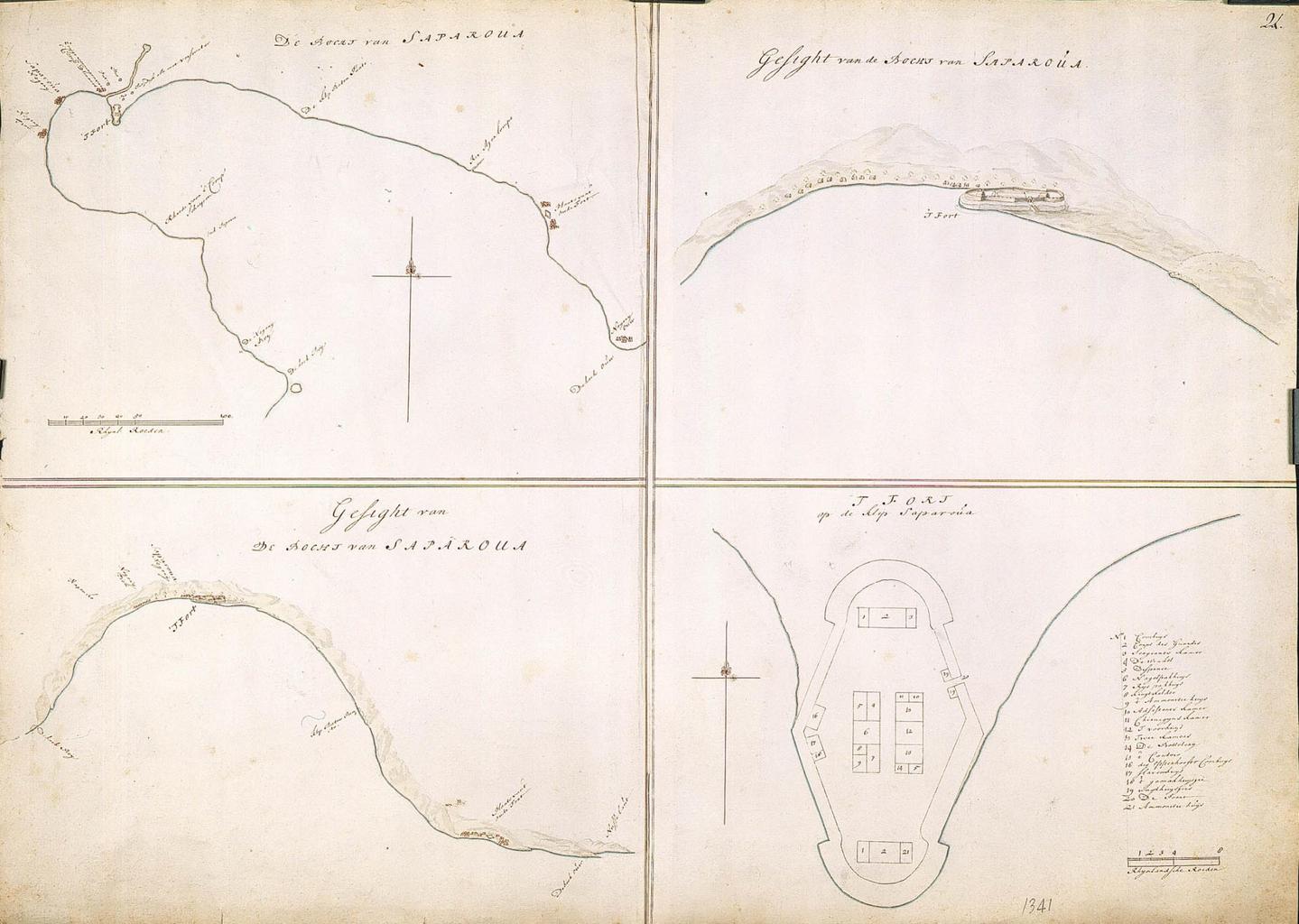
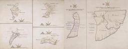
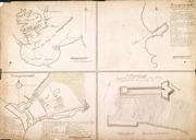
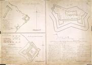
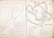
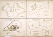
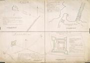
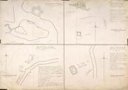
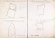
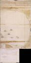
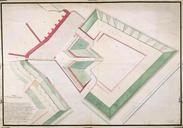
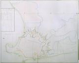
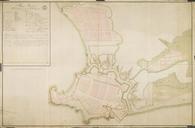
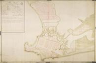
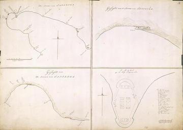
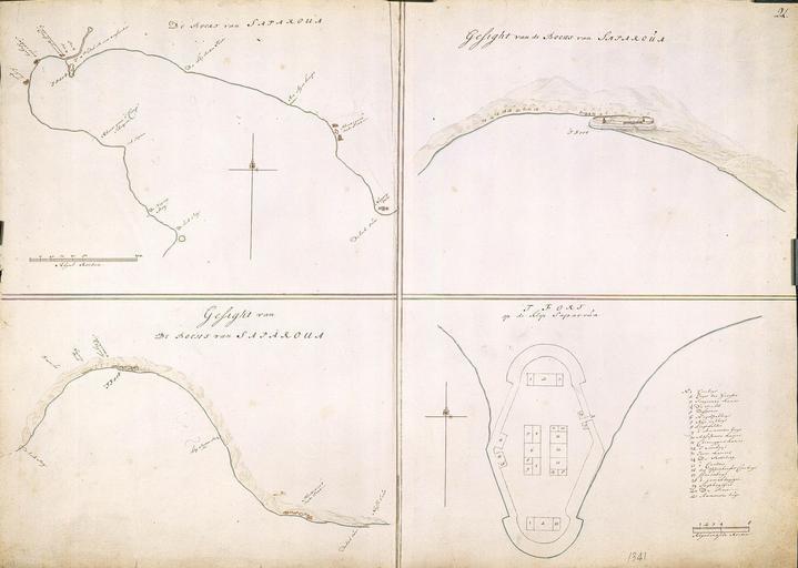
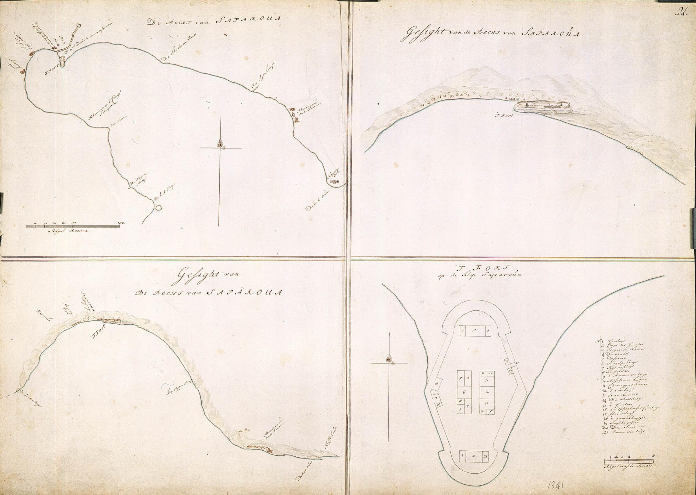
AMHNA Maps of the fortifications on Saparoua. Artwork nl Plattegronden van de fortificaties op Saparoua nl Titel catalogus Leupe NA De bocht van Saparoua VELa Gesight van de bocht van Saparoua VELb Gesight op het fort in de bocht van Saparoua VELc Platte grond van 't fort op de klip Saparoua Rechts boven genummerd Rijnlandse roeden