Related Images


Download:
| Tiny | 192x128 | View | Download |
| Small | 385x256 | View | Download |
| Medium | 770x512 | View | Download |
| Large | 1540x1024 | View | Download |
| Original | 2400x1595 | View | Download |
This image was acquired from
wikimedia. It was marked as Public Domain or CC0 and is free to use. To verify, go to the source and check the information there.
Looking for more info about this image?
Try a Google Reverse Image Search for it.
Try a Google Reverse Image Search for it.
Keywords from Image Description:
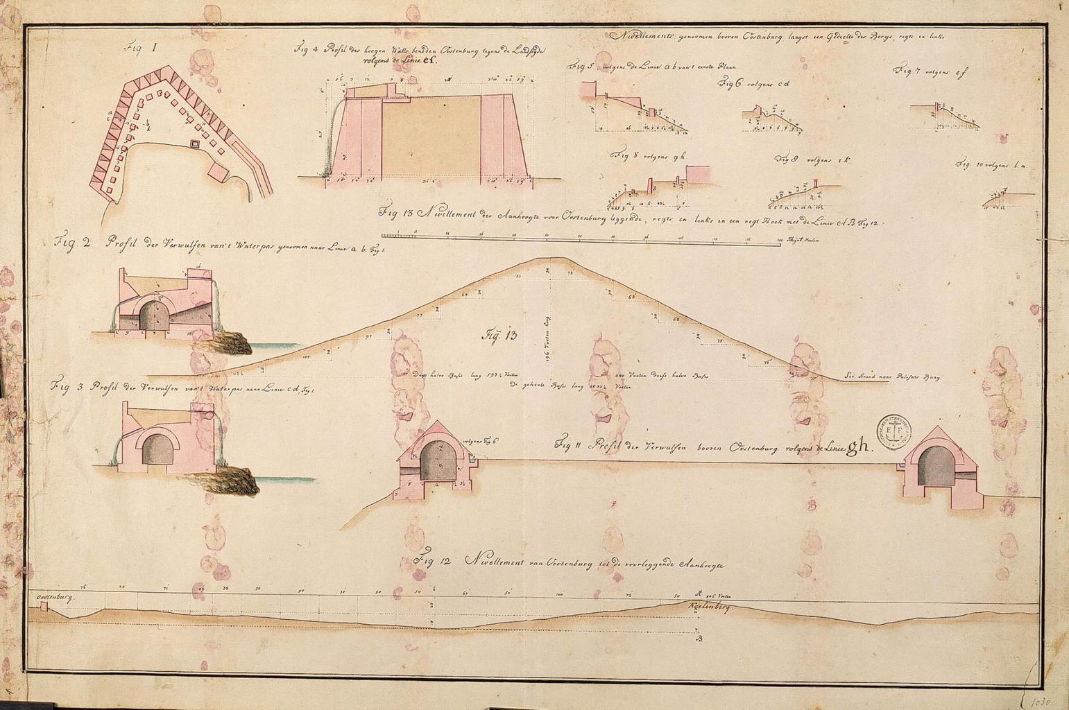
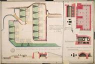
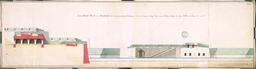
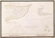
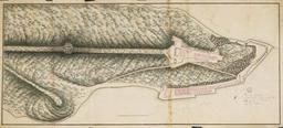
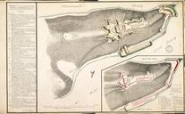
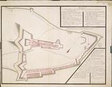
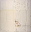
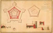
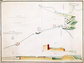
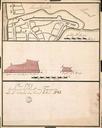
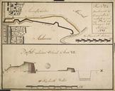
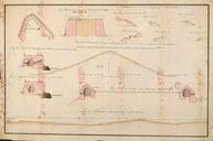
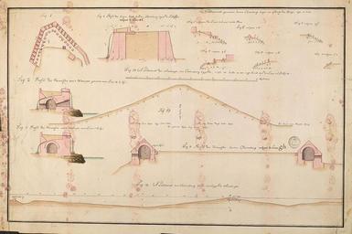
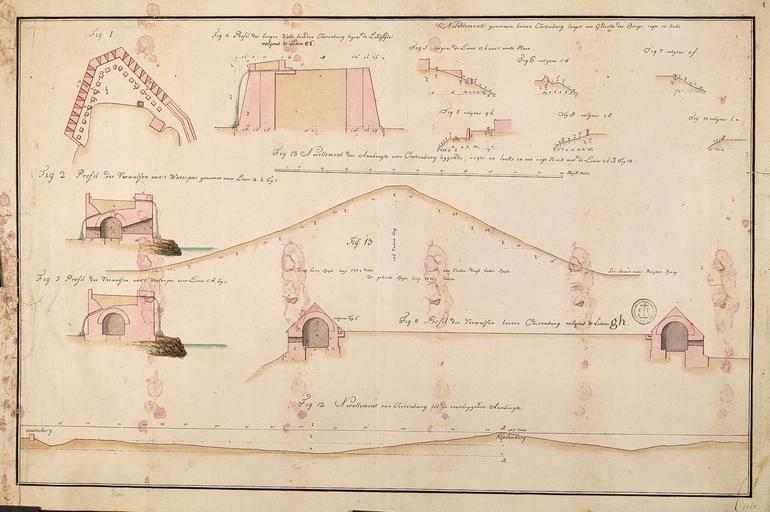
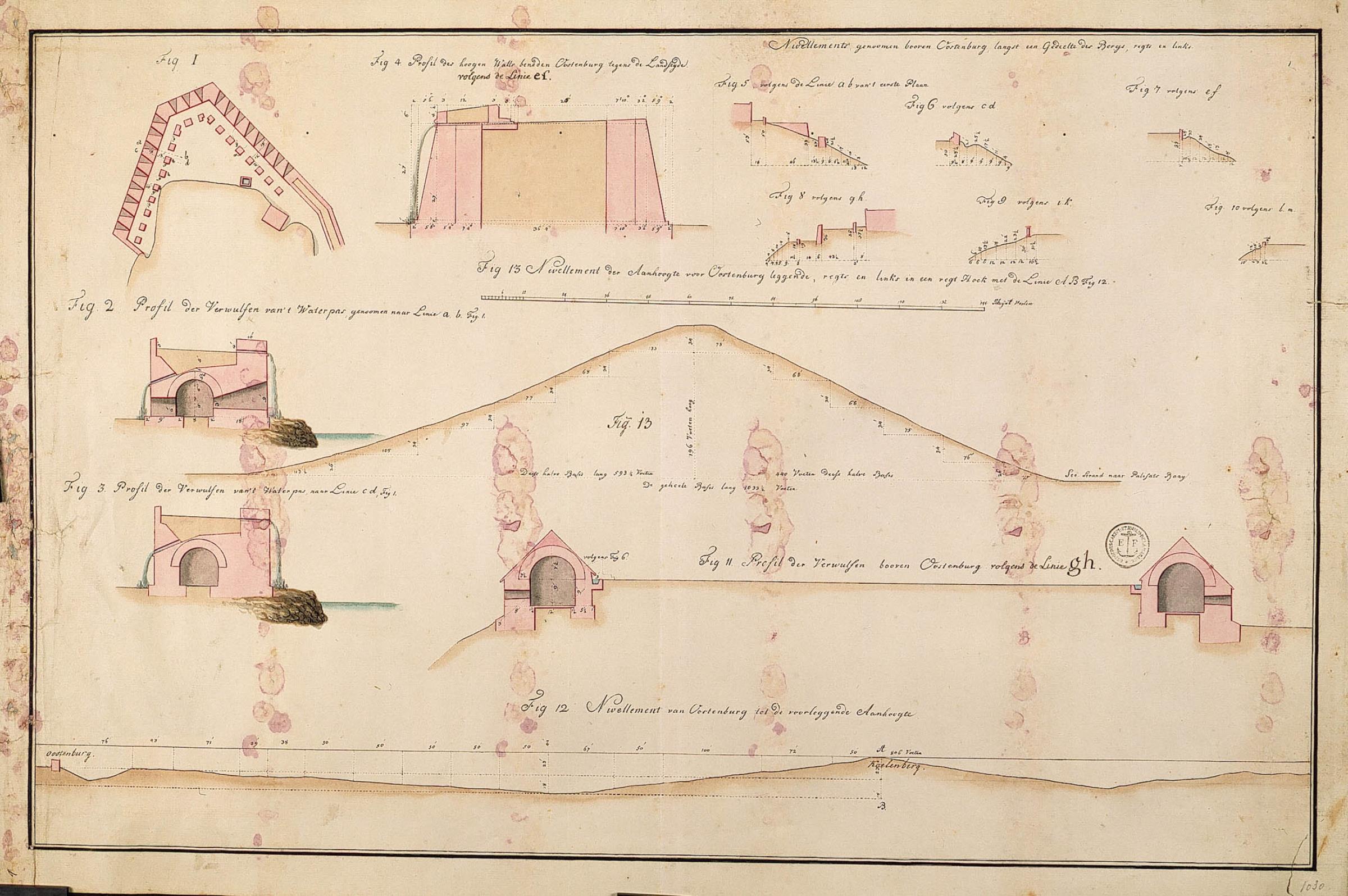
AMHNA Map and elevations of Fort Oostenburg. Artwork nl Plattegrond en profielen van fort Oostenburg nl Titel in catalogus Leupe NA Plan van Oostenburg en de benedenwerken gedeeltelyk nog op te bouwen Stempeltje Depot des Cart Pl et Journ de la Marine De kaart heeft vele roze vlekken veroorzaakt door vocht Volgens een aantekening