Related Images


Download:
| Tiny | 173x128 | View | Download |
| Small | 346x256 | View | Download |
| Medium | 693x512 | View | Download |
| Large | 1387x1024 | View | Download |
| Original | 2400x1771 | View | Download |
This image was acquired from
wikimedia. It was marked as Public Domain or CC0 and is free to use. To verify, go to the source and check the information there.
Looking for more info about this image?
Try a Google Reverse Image Search for it.
Try a Google Reverse Image Search for it.
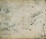
Keywords from Image Description:
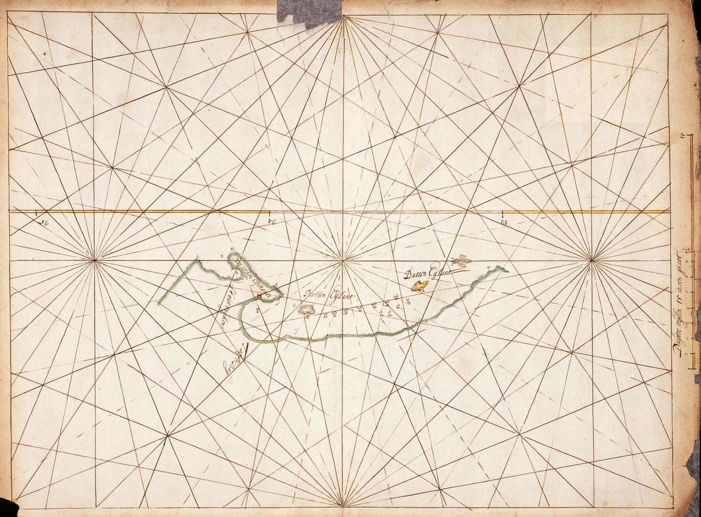
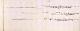
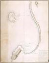
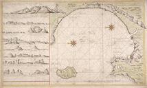
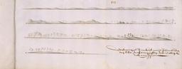
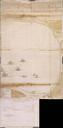
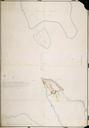
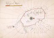
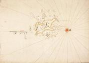
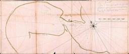
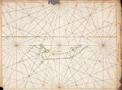
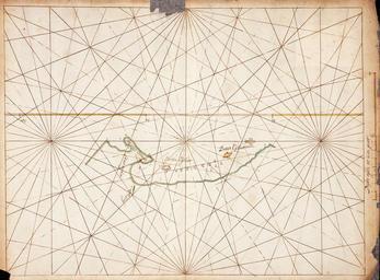
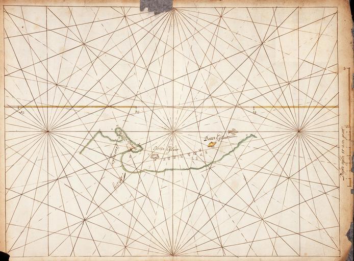
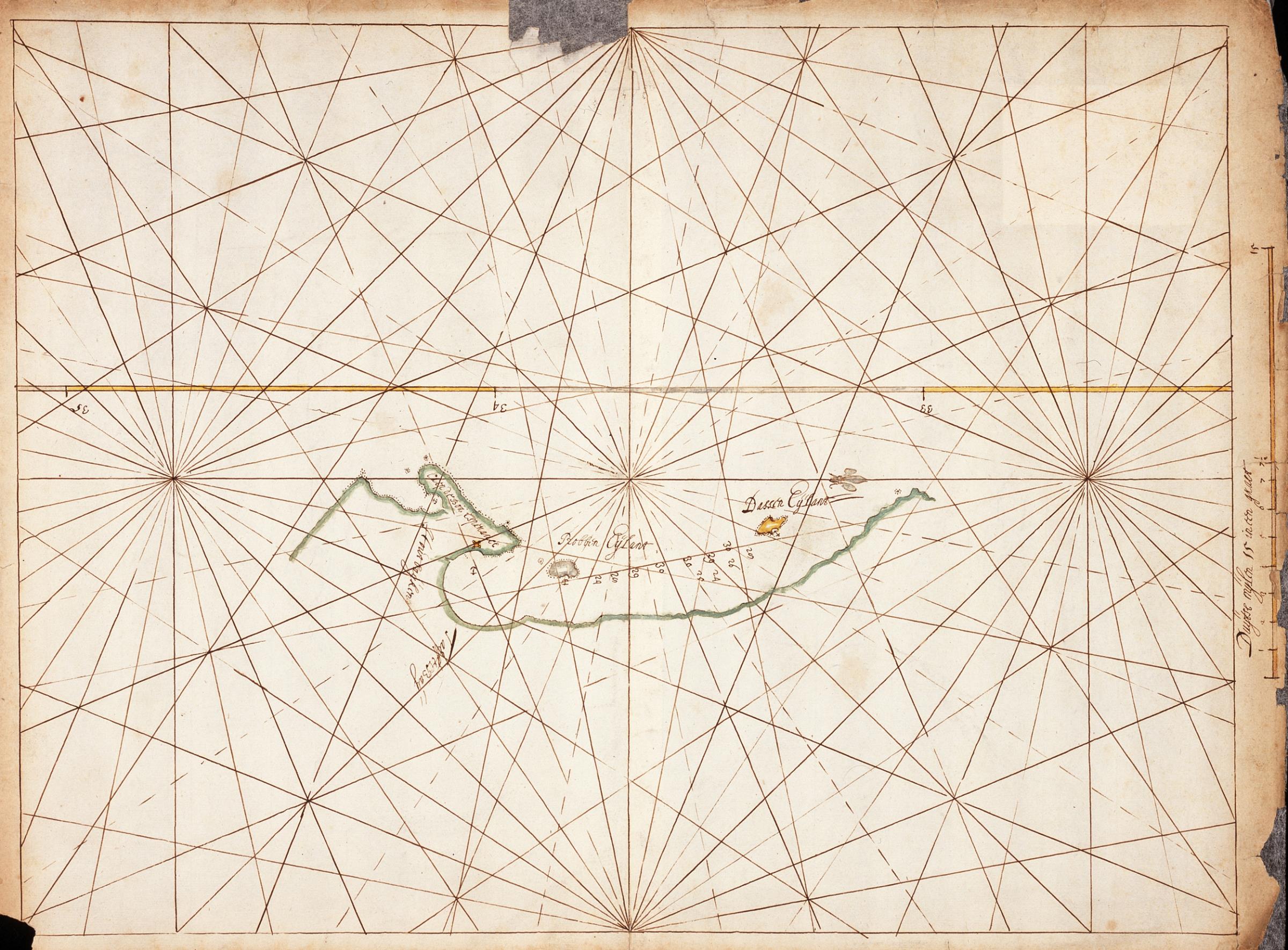
AMHNA Chart of Table Bay Hout Bay Dassen and Robben islands. Artwork nl Kaart van de Tafelbaai Houtbaai Dassen en Robbeneiland nl Titel in catalogus Leupe Nationaal Archief Kaartje van de Tafel en Houtbayen met het Dassen en Robben Eyland Randen enigszins gescheurd gedeeltelijk gerestaureerd Notities verso Van de Kaap deel folionummer