Related Images


Download:
| Tiny | 179x128 | View | Download |
| Small | 359x256 | View | Download |
| Medium | 718x512 | View | Download |
| Large | 1437x1024 | View | Download |
| Original | 2400x1710 | View | Download |
This image was acquired from
wikimedia. It was marked as Public Domain or CC0 and is free to use. To verify, go to the source and check the information there.
Looking for more info about this image?
Try a Google Reverse Image Search for it.
Try a Google Reverse Image Search for it.
Keywords from Image Description:
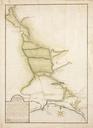
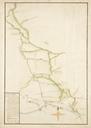
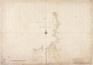
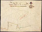
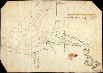
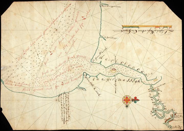
AMHNA Map of the river of Banjemassin. Artwork nl Kaart van de rivier van Banjermassin nl Titel in catalogus Leupe Nationaal Archief Kaart van de Rivieren Banyermassigh en Kaijoe Tanghin tot boven de negorij Tatas op de Zuidkust van Borneo Drie hoeken van de kaart zijn schuin afgesneden of afgeknipt en Title in the Leupe catalogue