Related Images


Download:
| Tiny | 98x128 | View | Download |
| Small | 197x256 | View | Download |
| Medium | 394x512 | View | Download |
| Large | 788x1024 | View | Download |
| Original | 1849x2400 | View | Download |
This image was acquired from
wikimedia. It was marked as Public Domain or CC0 and is free to use. To verify, go to the source and check the information there.
Looking for more info about this image?
Try a Google Reverse Image Search for it.
Try a Google Reverse Image Search for it.
Keywords from Image Description:
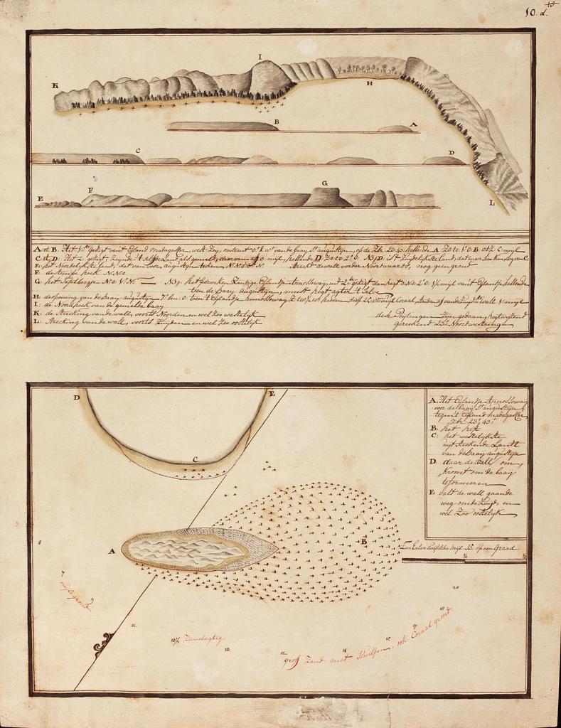
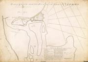
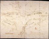
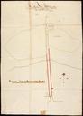
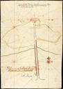
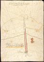
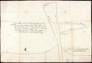
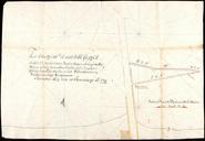
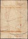
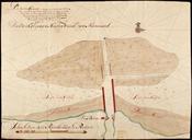
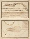
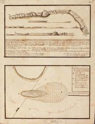
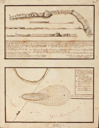
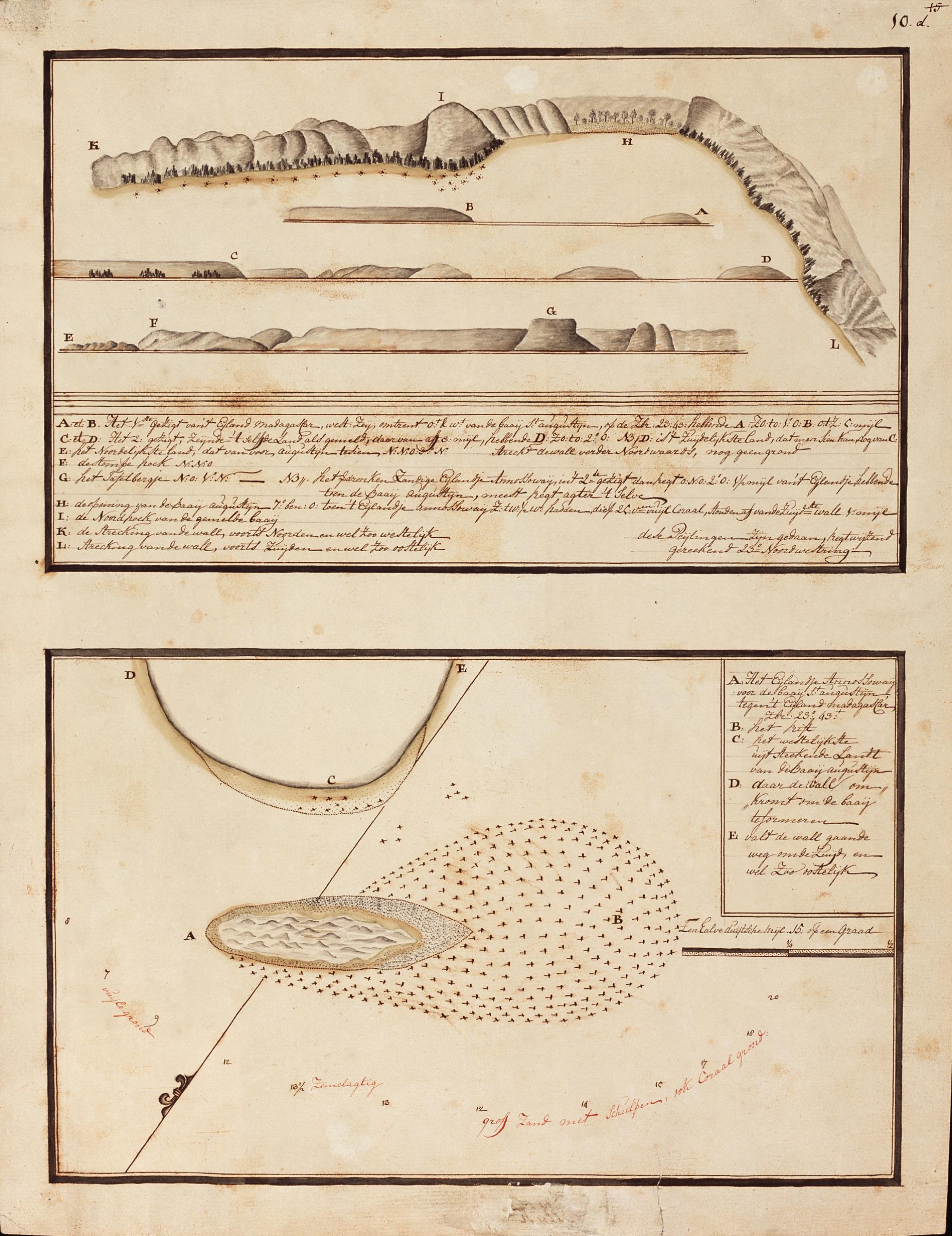
AMHNA Chart showing landfalls of Madagascar and the island of Annossoway below Tullier. Artwork nl Kaart met landverkenningen van Madagascar en het eilandje Annossoway onder Tullier nl Titel in catalogus Leupe Nationaal Archief Landverkenningen van het Eiland Madagascar benevens een kaartje van het Eiland Annossoway voor de Baay