Related Images


Download:
| Tiny | 168x128 | View | Download |
| Small | 337x256 | View | Download |
| Medium | 675x512 | View | Download |
| Large | 1350x1024 | View | Download |
| Original | 2400x1820 | View | Download |
This image was acquired from
wikimedia. It was marked as Public Domain or CC0 and is free to use. To verify, go to the source and check the information there.
Looking for more info about this image?
Try a Google Reverse Image Search for it.
Try a Google Reverse Image Search for it.
Keywords from Image Description:
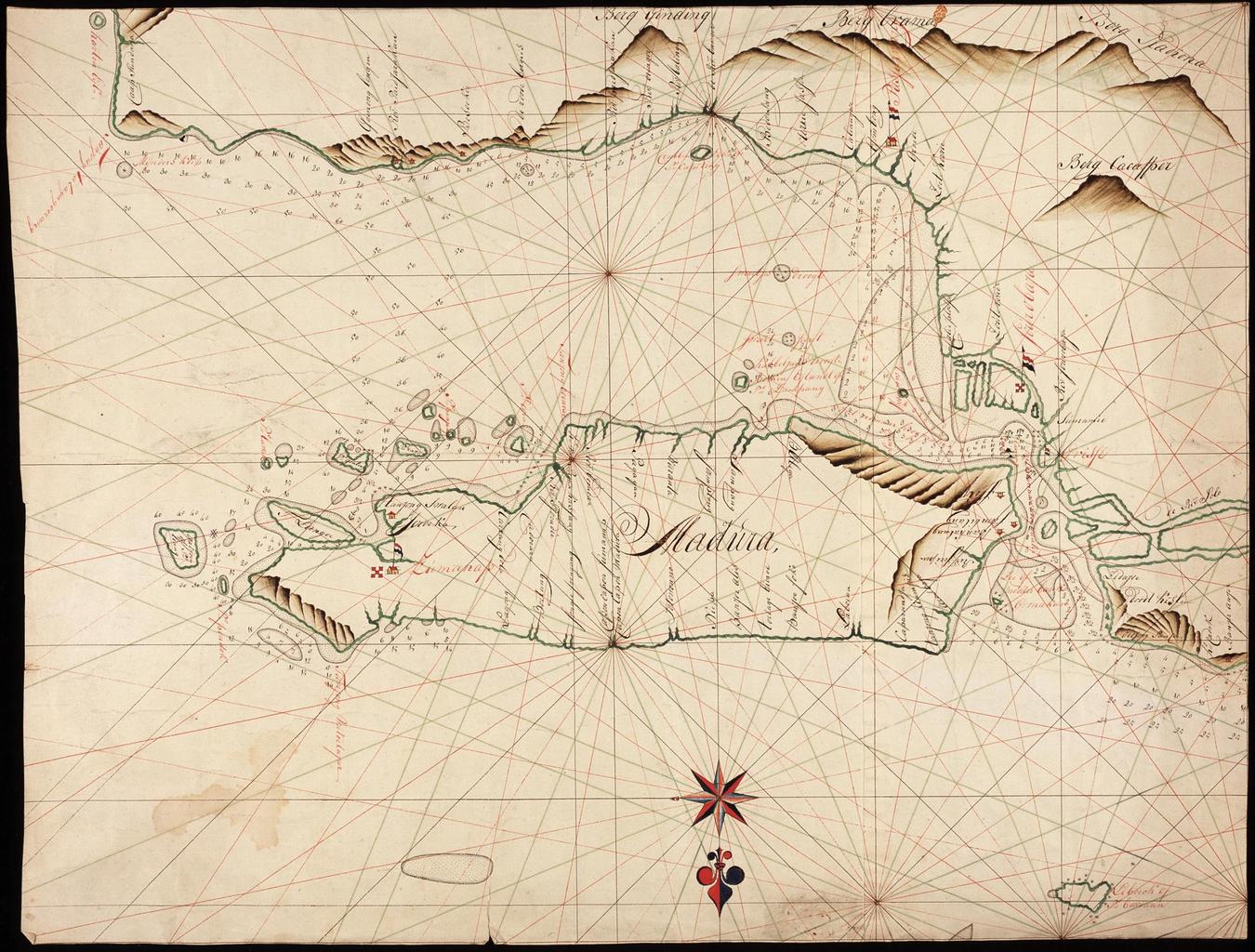
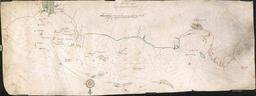
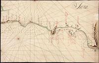
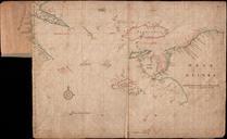
AMHNA Map of Java's north coast from Banjer Anjer to Tanjong Taagagoerang and Madura. Artwork nl Kaart van de noordkust van Java van Banjer Anjer tot Tanjong Taagagoerang en Madura nl Titel in catalogus Leupe NA Kaart als voren van Banjer Anjer tot Tanjong Taagagoerang Straat Madura en genoemd Eiland en Title in the Leupe catalogue