
Related Images


Download:
| Tiny | 168x128 | View | Download |
| Small | 336x256 | View | Download |
| Medium | 672x512 | View | Download |
| Large | 1345x1024 | View | Download |
| Original | 2400x1827 | View | Download |
This image was acquired from
wikimedia. It was marked as Public Domain or CC0 and is free to use. To verify, go to the source and check the information there.
Looking for more info about this image?
Try a Google Reverse Image Search for it.
Try a Google Reverse Image Search for it.
Keywords from Image Description:
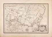
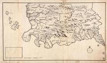
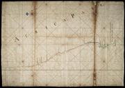
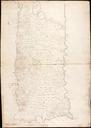
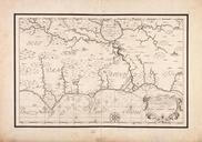
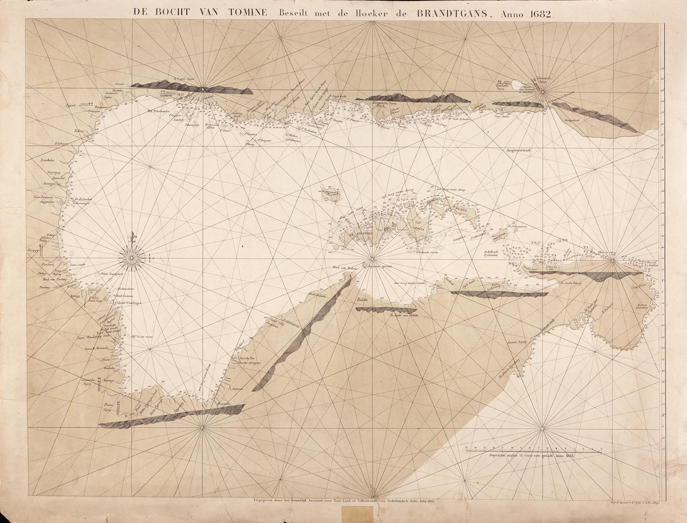
AMHNA Map of the Tomine river bend on the east coast of Celebes. Artwork nl Kaart van de bocht van Tomine aan de oostkust van Celebes nl Titel in catalogus Leupe NA Kaart als voren hiermee wordt bedoeld de titel van VEL Kaart van de Bocht van Tomine Oostkust van Celebes beseylt met de Hoeker de Brandgans anno Het betreft hier een