Related Images
Download:
| Tiny | 168x128 | View | Download |
| Small | 336x256 | View | Download |
| Medium | 672x512 | View | Download |
| Large | 1344x1024 | View | Download |
| Original | 2400x1828 | View | Download |
This image was acquired from
wikimedia. It was marked as Public Domain or CC0 and is free to use. To verify, go to the source and check the information there.
Looking for more info about this image?
Try a Google Reverse Image Search for it.
Try a Google Reverse Image Search for it.
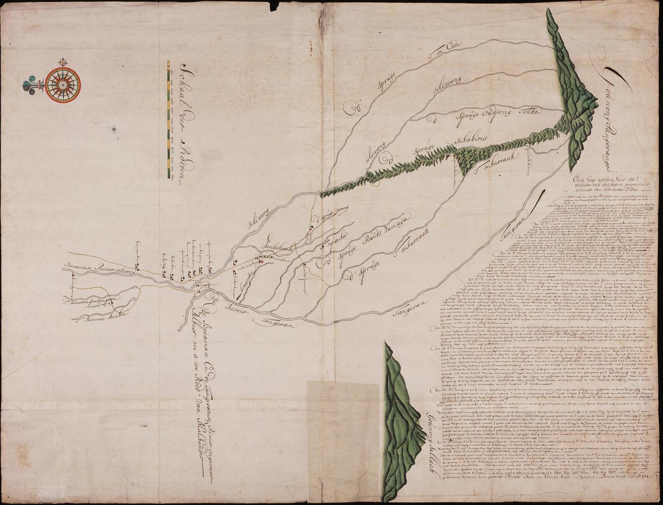
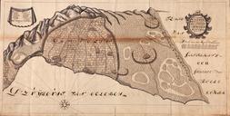
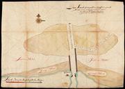
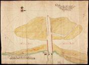
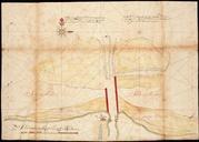
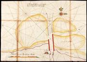
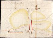
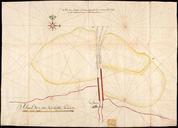
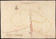
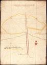
Keywords from Image Description:
AMHNA Chart showing part of the 'Bataviasche Groote Rivier' that is the Ciliwong. Artwork nl Kaart van een deel van de 'Bataviasche Groote Rivier' ofwel de Ciliwong nl Titel catalogus Leupe NA Kaart van het land tusschen Koedongwiringin en Gounong Pangorango tot het onderzoeken van den staat der Bataviasche Groote Rivier Notities