Related Images


Download:
| Tiny | 209x128 | View | Download |
| Small | 419x256 | View | Download |
| Medium | 838x512 | View | Download |
| Large | 1676x1024 | View | Download |
| Original | 2400x1466 | View | Download |
This image was acquired from
wikimedia. It was marked as Public Domain or CC0 and is free to use. To verify, go to the source and check the information there.
Looking for more info about this image?
Try a Google Reverse Image Search for it.
Try a Google Reverse Image Search for it.
Keywords from Image Description:
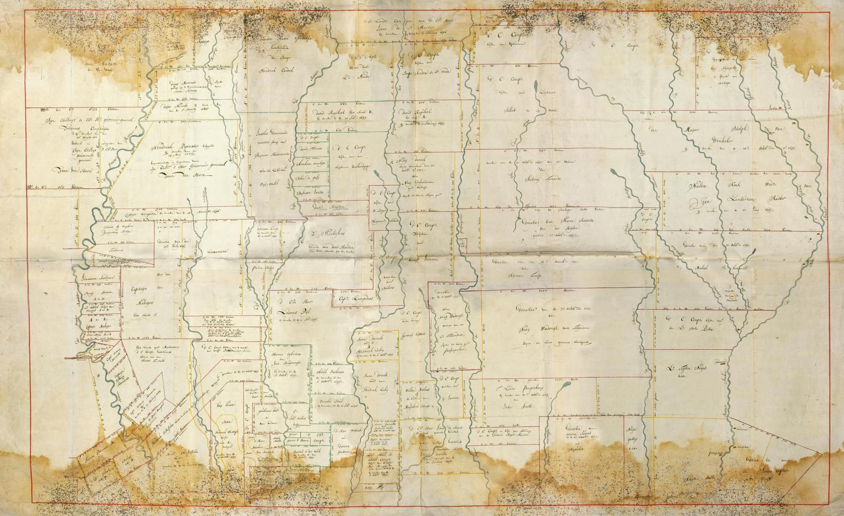
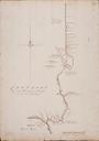
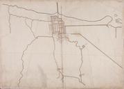
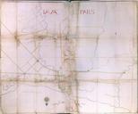
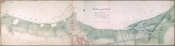
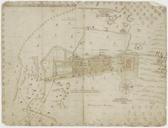
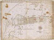
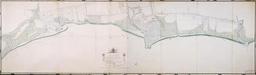
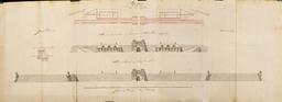
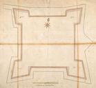
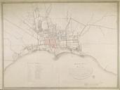
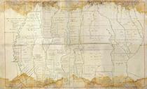
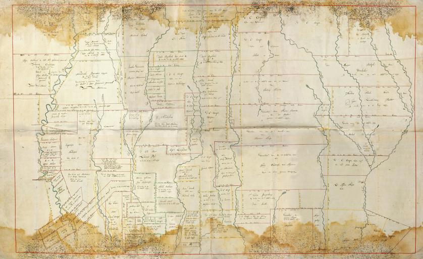
AMHNA Map of land parcels around Batavia. Artwork nl Kaart met landverdeling rondom Batavia nl Titel catalogus Leupe NA Kaart als voren tusschen de Groote rivier en de rivier Ank hiermee wordt bedoeld de titel van VEL Kaart van Batavia met de daaromheen leggende bebouwde landen benevens de namen der bewoners of eigenaars Het papier