Related Images

Download:
| Tiny | 137x128 | View | Download |
| Small | 275x256 | View | Download |
| Medium | 551x512 | View | Download |
| Large | 1102x1024 | View | Download |
| Original | 2400x2229 | View | Download |
This image was acquired from
wikimedia. It was marked as Public Domain or CC0 and is free to use. To verify, go to the source and check the information there.
Looking for more info about this image?
Try a Google Reverse Image Search for it.
Try a Google Reverse Image Search for it.
Keywords from Image Description:
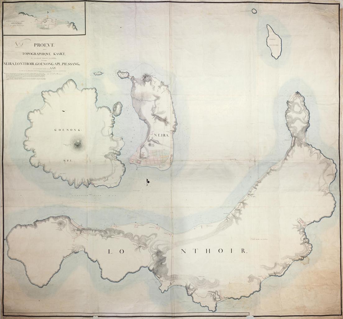
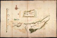
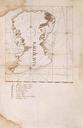
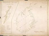
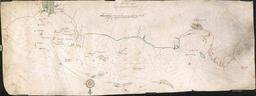
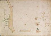
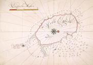
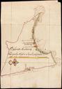
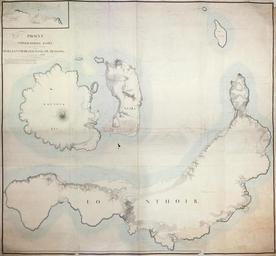
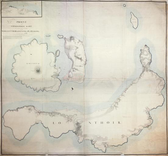
AMHNA Map of the Banda islands. Artwork nl Kaart van de Bandaeilanden nl Titel in catalogus Leupe Nationaal Archief Proeve eener Topographique kaart der voornaamste Eylanden van Banda voornamentlyk Neira Lonthor Goenong Api Pisang en 't noordelykste gedeelte van Aay enz Notities verso No en Title in the Leupe catalogue National