Related Images


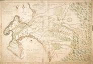


Download:
| Tiny | 147x128 | View | Download |
| Small | 295x256 | View | Download |
| Medium | 591x512 | View | Download |
| Large | 1182x1024 | View | Download |
| Original | 2400x2078 | View | Download |
This image was acquired from
wikimedia. It was marked as Public Domain or CC0 and is free to use. To verify, go to the source and check the information there.
Looking for more info about this image?
Try a Google Reverse Image Search for it.
Try a Google Reverse Image Search for it.
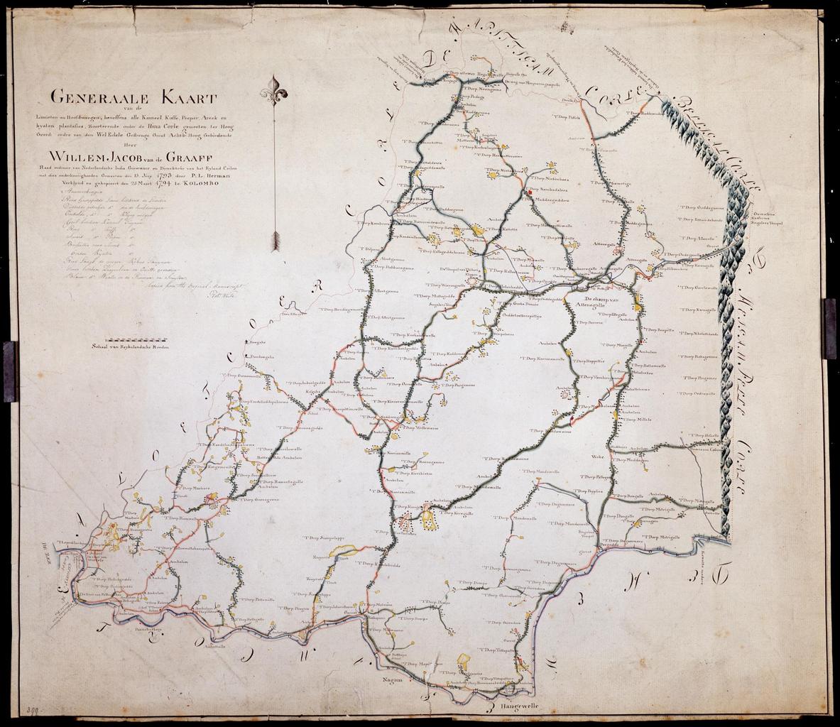
Keywords from Image Description:
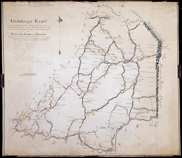
AMHNA Map of the plantations in the Hina Corle district. Artwork nl Kaart van de plantages in het district Hina Corle nl Titel in catalogus Leupe Nationaal Archief Generaale kaart van de limieten en hoofdweegen beneffens alle kanneel koffe peeper areek en kijaten plantasies zoorteerende onder de Hina Corle en Title in the Leupe catalogue