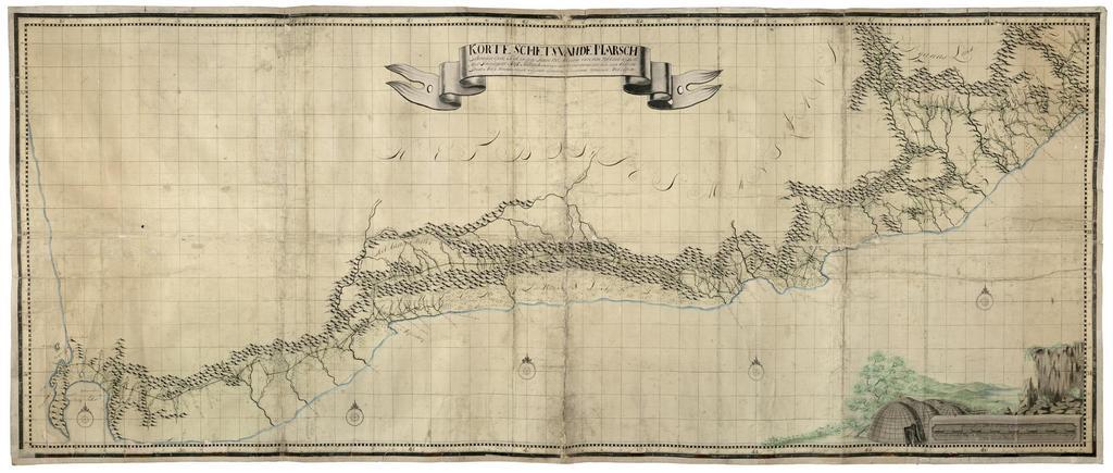
Related Images


Download:
| Tiny | 301x128 | View | Download |
| Small | 602x256 | View | Download |
| Medium | 1205x512 | View | Download |
| Original | 2400x1019 | View | Download |
This image was acquired from
wikimedia. It was marked as Public Domain or CC0 and is free to use. To verify, go to the source and check the information there.
Looking for more info about this image?
Try a Google Reverse Image Search for it.
Try a Google Reverse Image Search for it.
Keywords from Image Description:
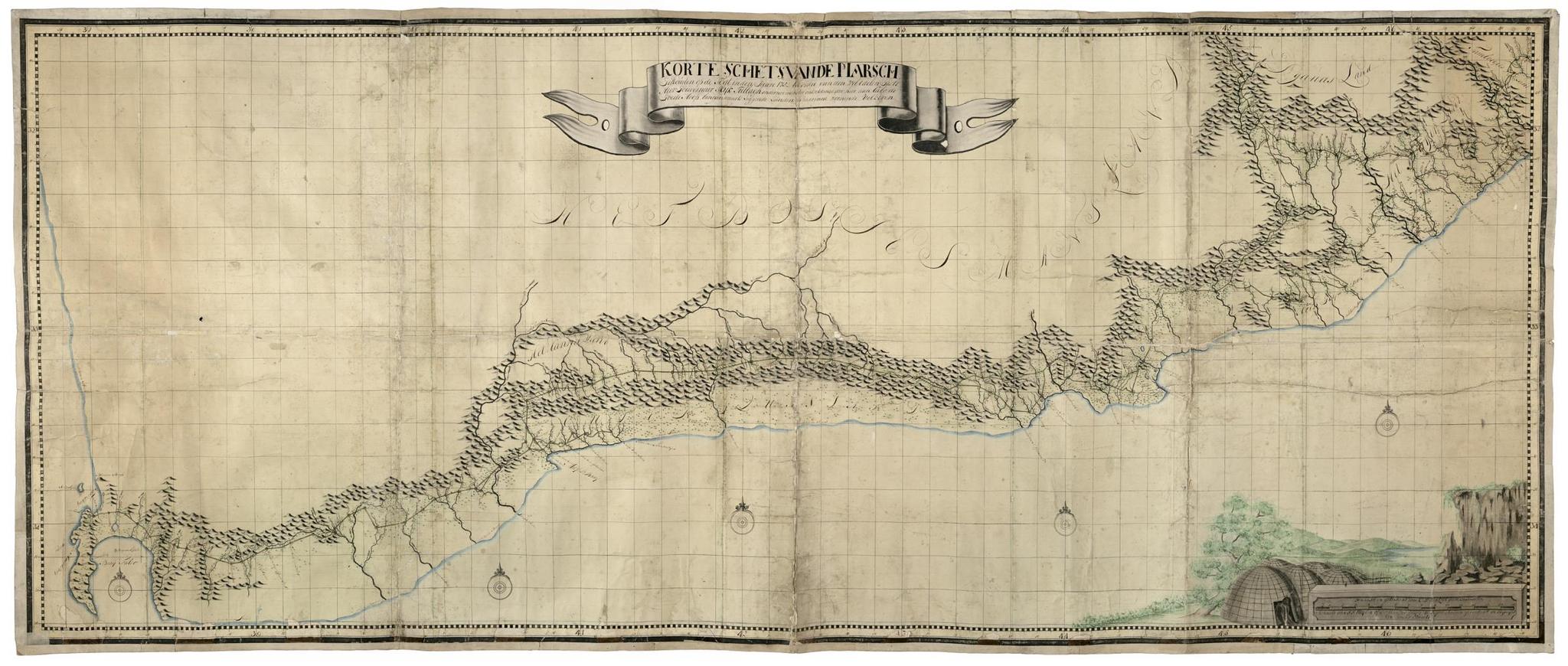
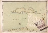
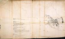
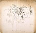
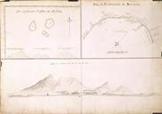
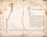
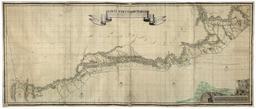
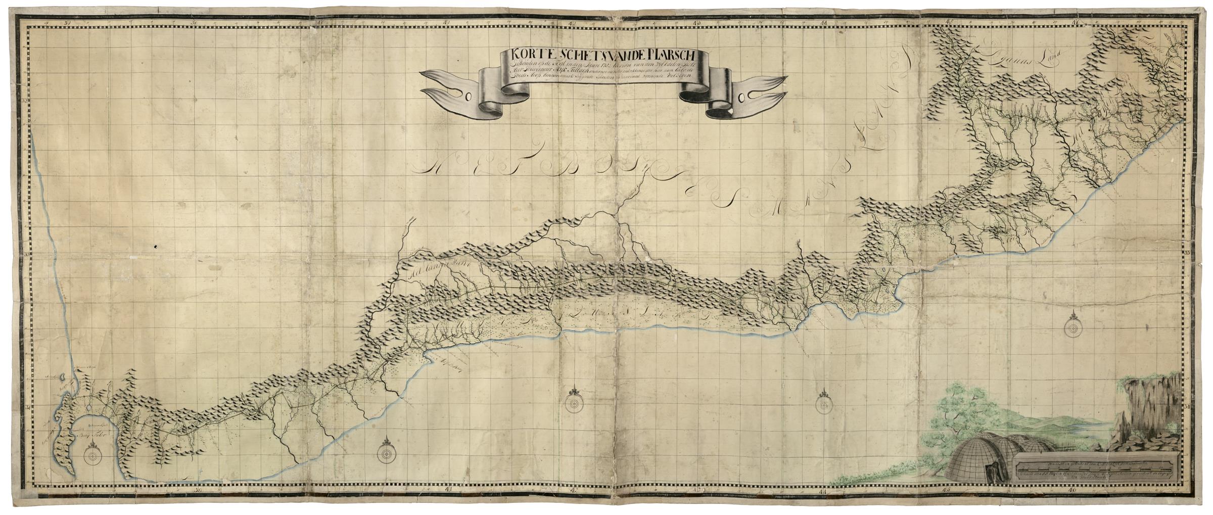
AMHNA Map showing route to discover the region to the east of the Cape of Good Hope. Artwork nl Kaart met de route ter ontdekking van het gebied ten oosten van Kaap de Goede Hoop nl Titel catalogus Leupe NA Korte schets van de Marsch gehouden op de togt in den Jaare ter ordre van den Wel Edelen gestr heer Gouverneur Rijk Tulbagh