Related Images


Download:
| Tiny | 161x128 | View | Download |
| Small | 322x256 | View | Download |
| Medium | 645x512 | View | Download |
| Large | 1291x1024 | View | Download |
| Original | 2400x1903 | View | Download |
This image was acquired from
wikimedia. It was marked as Public Domain or CC0 and is free to use. To verify, go to the source and check the information there.
Looking for more info about this image?
Try a Google Reverse Image Search for it.
Try a Google Reverse Image Search for it.
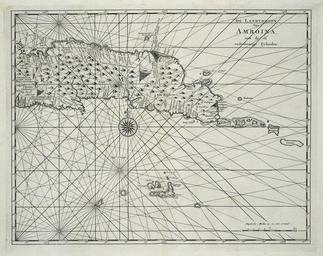
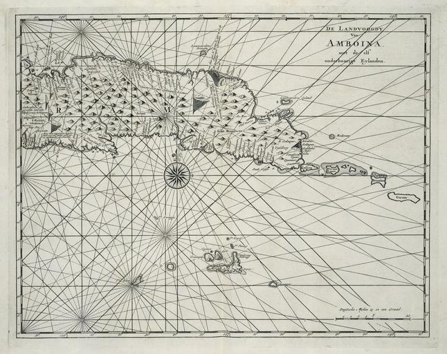
Keywords from Image Description:
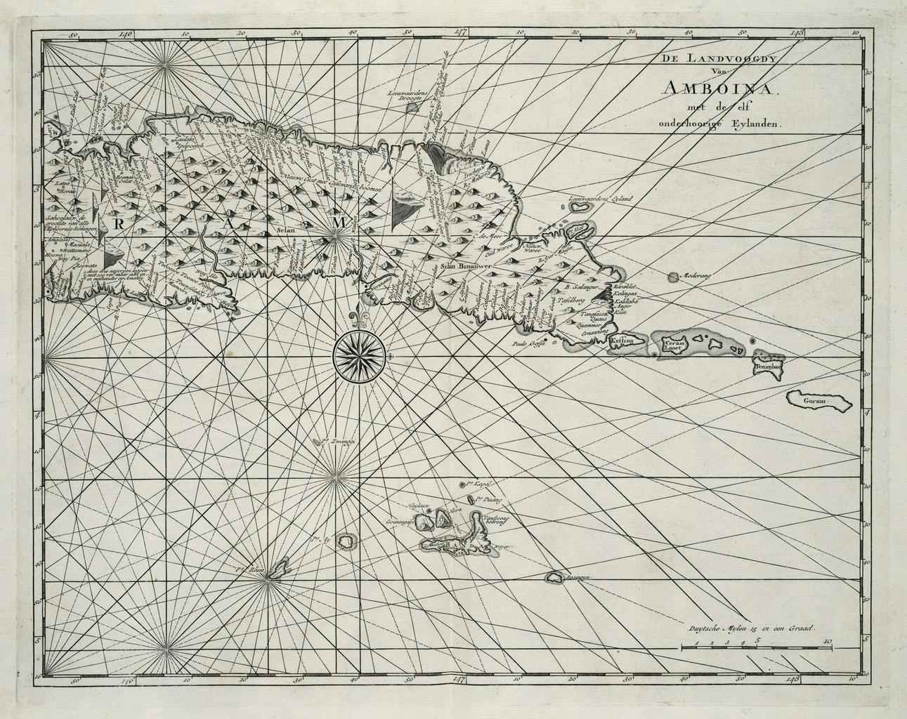
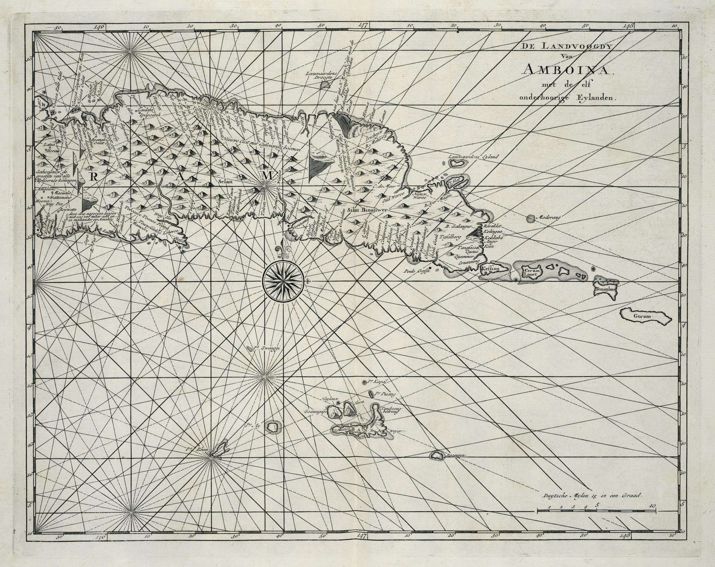
AMHKB Map of the eastern part of Seram showing the Banda Islands. Artwork nl Kaart van het oostelijk deel van Seram met de Bandaeilanden nl Kaart van het oostelijk deel van Seram met de Bandaeilanden De Landvoogdy Van Amboina met de elf onderhoorige Eylanden De afbeelding is afkomstig uit het het werk 'Oud en Nieuw OostIndin' van