Related Images


Download:
| Tiny | 164x128 | View | Download |
| Small | 329x256 | View | Download |
| Medium | 658x512 | View | Download |
| Large | 1316x1024 | View | Download |
| Original | 2400x1867 | View | Download |
This image was acquired from
wikimedia. It was marked as Public Domain or CC0 and is free to use. To verify, go to the source and check the information there.
Looking for more info about this image?
Try a Google Reverse Image Search for it.
Try a Google Reverse Image Search for it.
Keywords from Image Description:
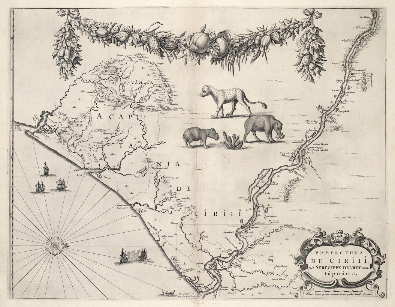
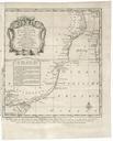
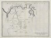
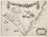
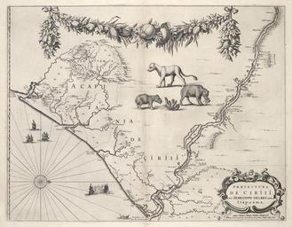
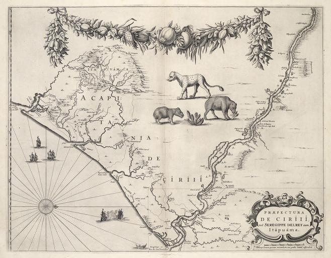
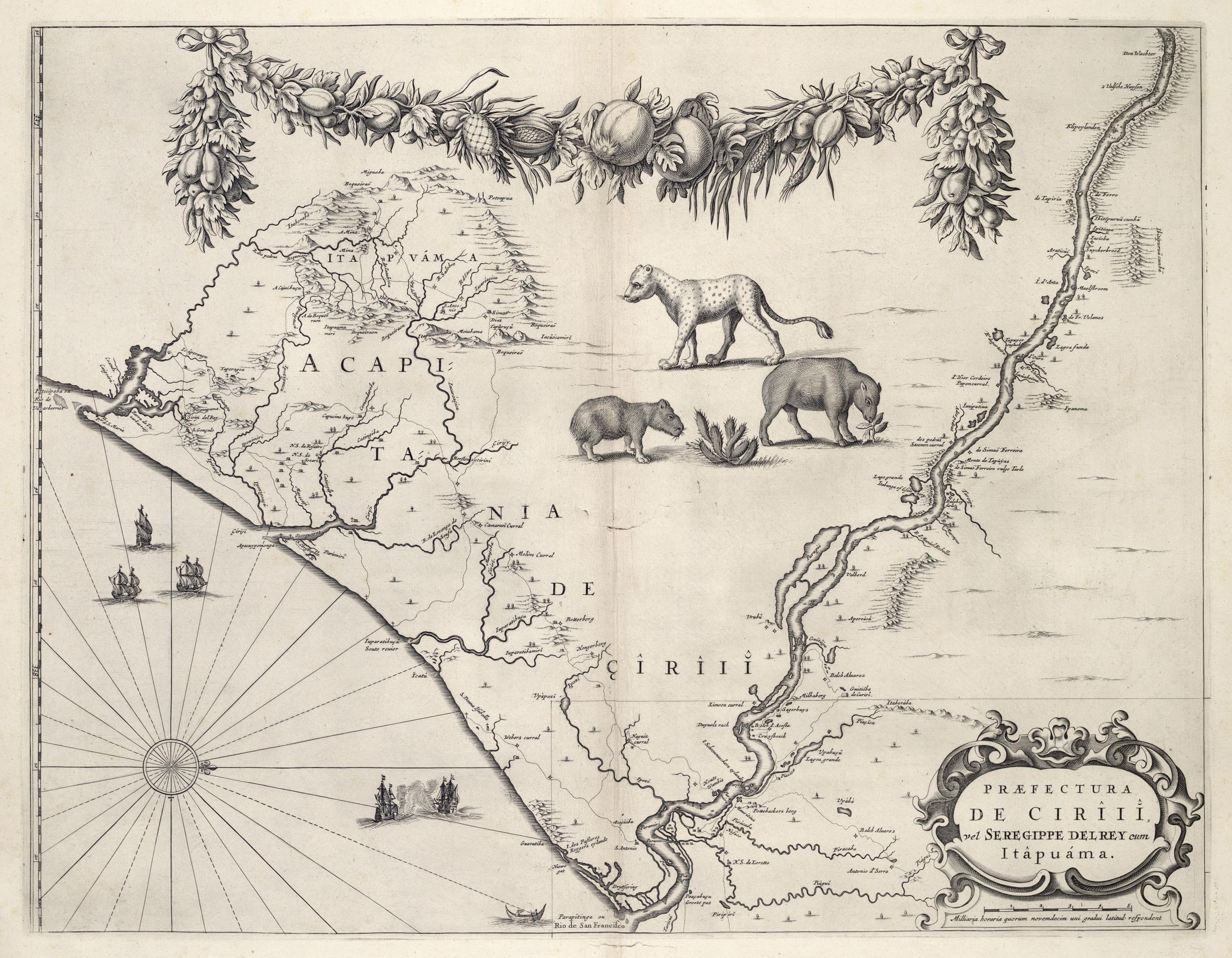
AMHKB Map of the region between Seregipe del Rey and Itapuama. Artwork nl Kaart van het gebied van Seregipe del Rey tot Itapuama nl Kaart van het gebied van Seregipe del Rey tot Itapuama Praefectura de Ciriii vel Seregippe Delrey cum Itapuama Voor de kust liggen enkele OostIndivaarders De kaart is later overgenomen in de 'Atlas Maior'