
Related Images

Download:
| Tiny | 171x128 | View | Download |
| Small | 342x256 | View | Download |
| Medium | 685x512 | View | Download |
| Large | 1370x1024 | View | Download |
| Original | 2400x1793 | View | Download |
This image was acquired from
wikimedia. It was marked as Public Domain or CC0 and is free to use. To verify, go to the source and check the information there.
Looking for more info about this image?
Try a Google Reverse Image Search for it.
Try a Google Reverse Image Search for it.
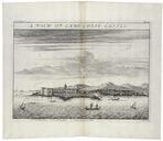
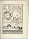
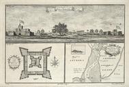
Keywords from Image Description:
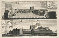
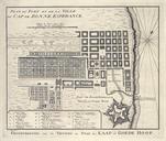
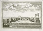
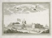
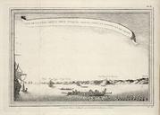
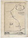
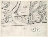
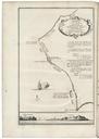
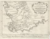
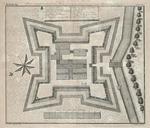
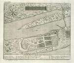
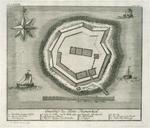
AMHKB Map of Cape Corso with the British fort. Artwork nl Plattegrond van Caap Corso met het Engelse fort nl Plattegrond van Caap Corso met het Engelse fort Plan du Fort Anglois et de la Ville du Cap de Corse Situ la Coste de Guine par Degres Minutes de Latitude Het fort op de plattegrond is voor het in in Engelse handen kwam