Related Images


Download:
| Tiny | 131x128 | View | Download |
| Small | 263x256 | View | Download |
| Medium | 526x512 | View | Download |
| Large | 1052x1024 | View | Download |
| Original | 1475x1435 | View | Download |
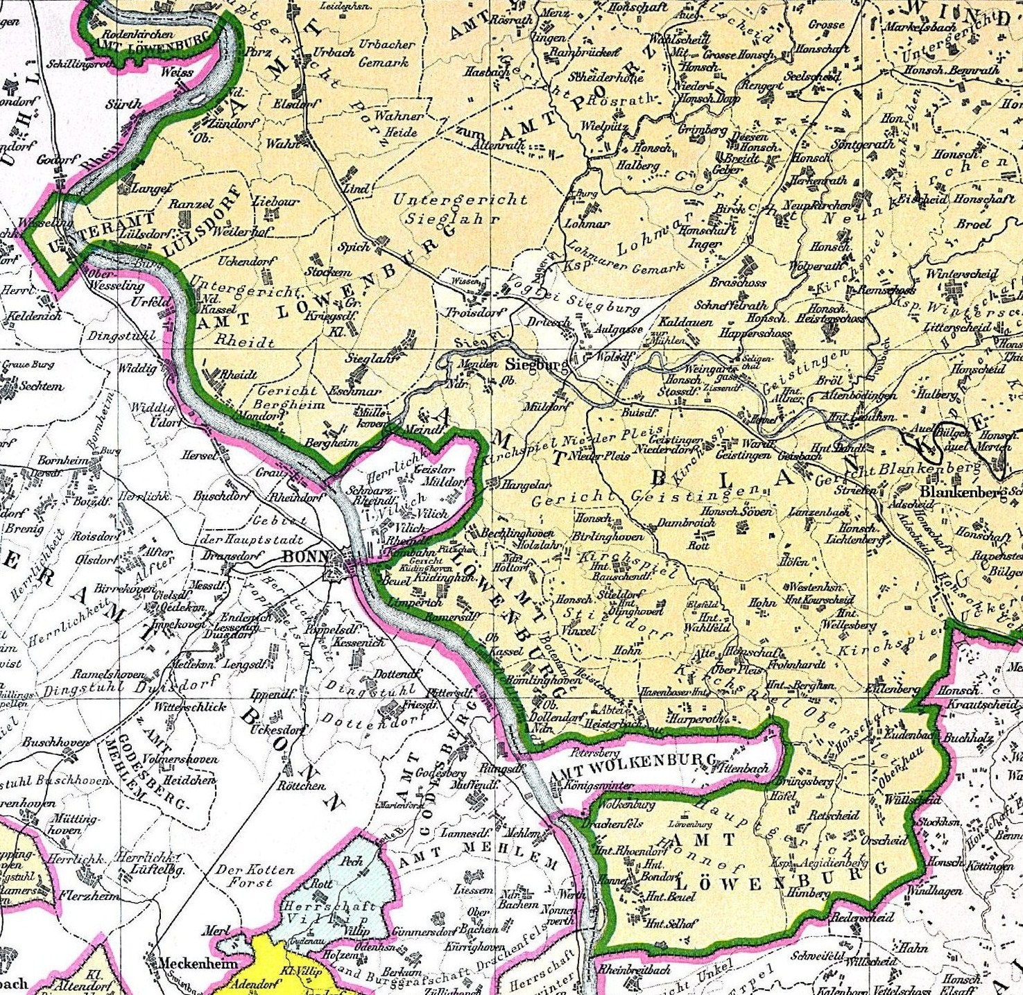
This image was acquired from
wikimedia. It was marked as Public Domain or CC0 and is free to use. To verify, go to the source and check the information there.
Looking for more info about this image?
Try a Google Reverse Image Search for it.
Try a Google Reverse Image Search for it.
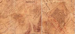
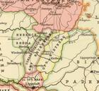
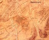
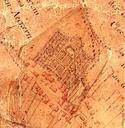
Keywords from Image Description:
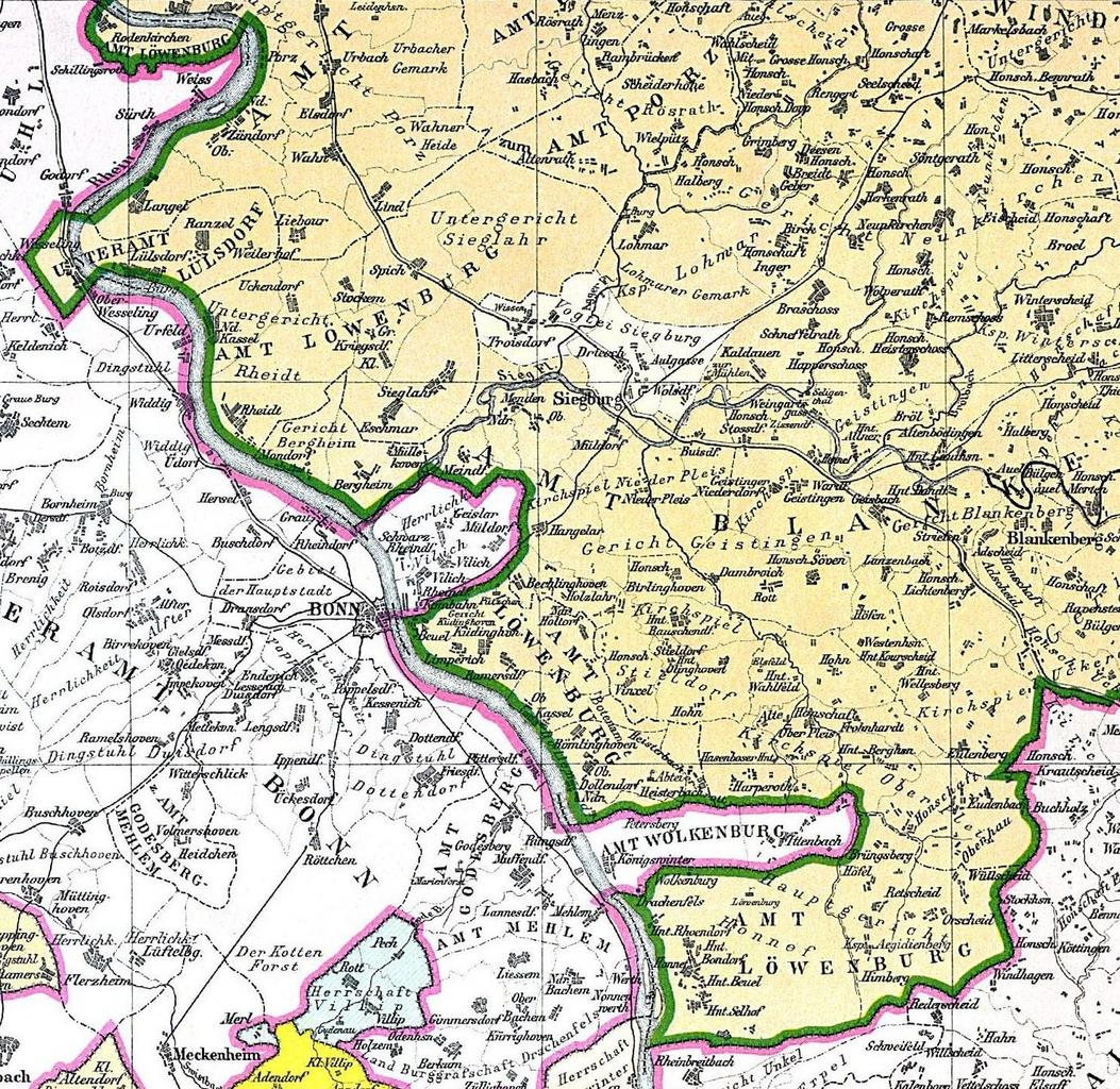
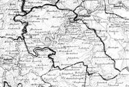
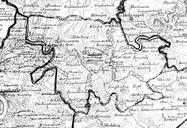
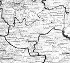
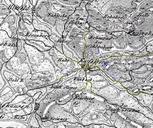
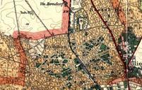
Amt Lwenburg Fabricius Karte Ausschnitt. Amt Lwenburg Karte von Fabricius Fabricius Wilhelm Karte der heutigen Preussischen Rheinprovinz im Jahre Bonn Gezeichnet von Georg Pfeiffer PDold Old maps of the Rhineland History of RheinSiegKreis