
Related Images


Download:
| Tiny | 103x128 | View | Download |
| Small | 207x256 | View | Download |
| Medium | 414x512 | View | Download |
| Large | 829x1024 | View | Download |
| Original png | 1827x2256 | View | Download |
| Original as jpg | 1827x2256 | View | Download |
This image was acquired from
wikimedia. It was marked as Public Domain or CC0 and is free to use. To verify, go to the source and check the information there.
Looking for more info about this image?
Try a Google Reverse Image Search for it.
Try a Google Reverse Image Search for it.
Keywords from Image Description:
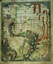
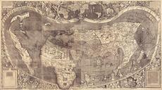
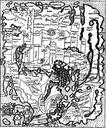
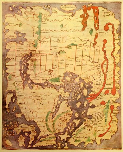
AngloSaxon World Map Corrected. The 'Cotton' of AngloSaxon World Map British Library Cotton MSS Tib folio date probably about AD in color Ceylon Taprobanea is at top Britain at lower left Photographed from print likely book called Atlas of Israel Gulf UTC user Koyos Original uploader was at org ar derivative work Koyos