
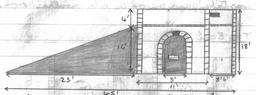
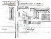
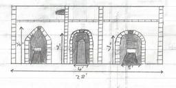
Related Images

This image was acquired from
wikimedia. It was marked as Public Domain or CC0 and is free to use. To verify, go to the source and check the information there.
Looking for more info about this image?
Try a Google Reverse Image Search for it.
Try a Google Reverse Image Search for it.
Keywords from Image Description:
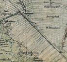
Anner en Eextervenen. De Anner en Eextervenen direct na de vervening fragment van een topografische militaire kaart uit nl lEsSvlkffjj watwaswaar Kadaster PDold Old maps of Drenthe Netherlands in the th century