
Related Images


Download:
| Tiny | 215x128 | View | Download |
| Small | 431x256 | View | Download |
| Medium | 863x512 | View | Download |
| Original | 1024x607 | View | Download |
This image was acquired from
wikimedia. It was marked as Public Domain or CC0 and is free to use. To verify, go to the source and check the information there.
Looking for more info about this image?
Try a Google Reverse Image Search for it.
Try a Google Reverse Image Search for it.
Keywords from Image Description:
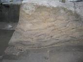
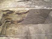
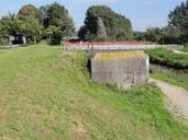
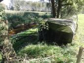
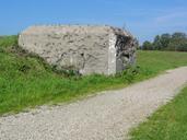
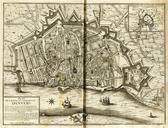
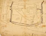
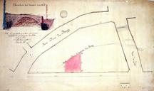
Antwerpen plan aarden wal IXth AD Wittevronghel in . en Antwerp Archeological map and plan of the Earthen Wall th century AD by Wittevronghel in nl Antwerpen Archeologisch plan en situering van de Aarden wal uit de de eeuw door Wittevronghel in antwerpendoorgrond be author other versions PDAntwerp Fortifications in Antwerp