Related Images
Download:
| Tiny | 88x128 | View | Download |
| Small | 176x256 | View | Download |
| Medium | 353x512 | View | Download |
| Large | 706x1024 | View | Download |
| Original | 3632x5262 | View | Download |
This image was acquired from
wikimedia. It was marked as Public Domain or CC0 and is free to use. To verify, go to the source and check the information there.
Looking for more info about this image?
Try a Google Reverse Image Search for it.
Try a Google Reverse Image Search for it.
Keywords from Image Description:
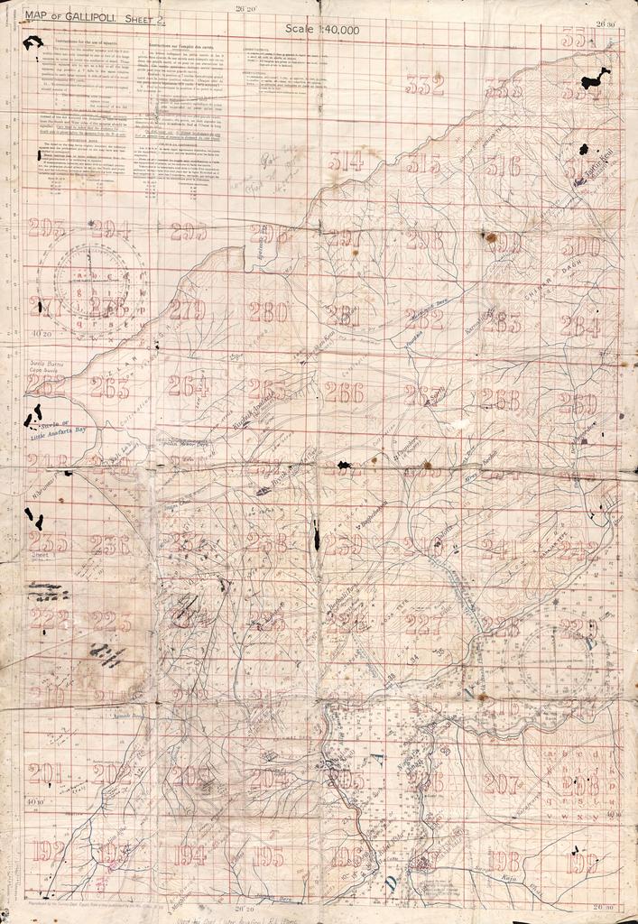
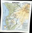
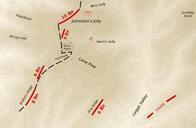
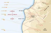
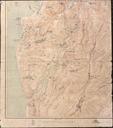
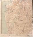
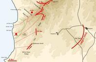
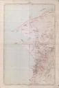
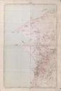
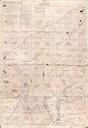
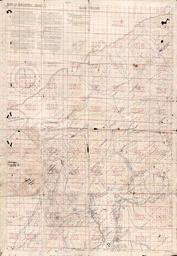
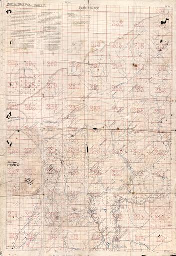
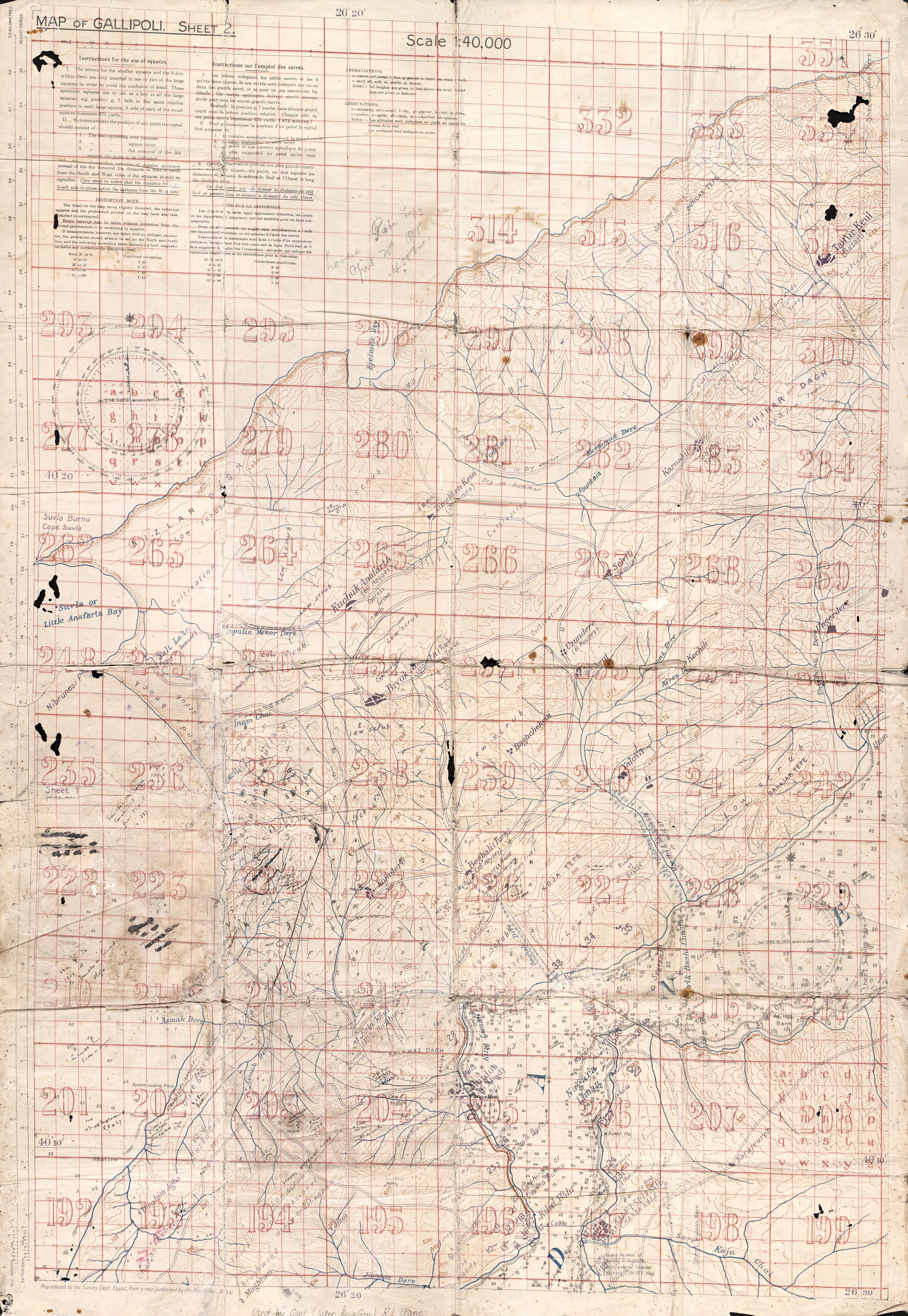
Anzac Cove landing map used by Raymond Leane. Anzac Cove landing map used by Raymond Leane This map of Gallipoli belonged to Captain later Brigadier General Raymond Leane The map is annotated with Turkish defences and is very fragile Leane was an officer with the th Battalion and used the map at the landing at ANZAC Cove He landed


