Related Images


Download:
| Tiny | 116x128 | View | Download |
| Small | 233x256 | View | Download |
| Original png | 274x300 | View | Download |
| Original as jpg | 274x300 | View | Download |
This image was acquired from
wikimedia. It was marked as Public Domain or CC0 and is free to use. To verify, go to the source and check the information there.
Looking for more info about this image?
Try a Google Reverse Image Search for it.
Try a Google Reverse Image Search for it.
Keywords from Image Description:
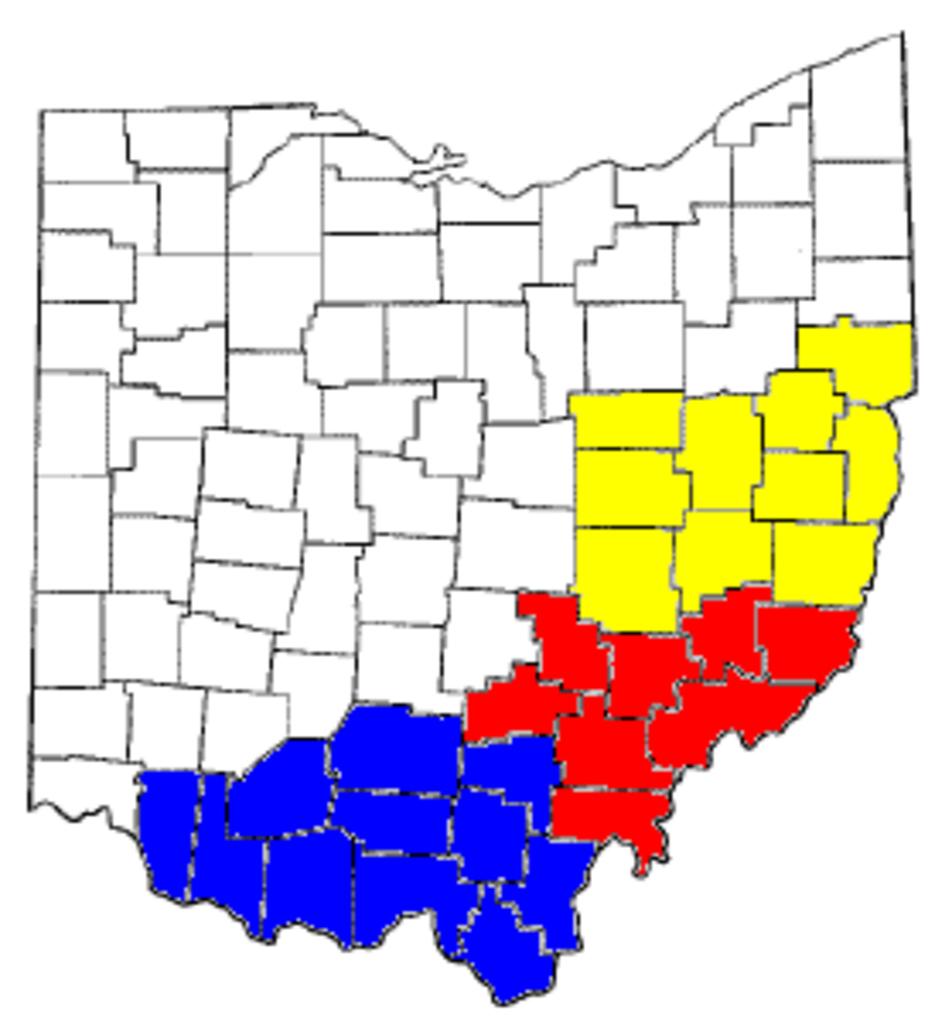
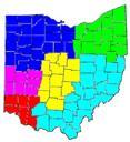
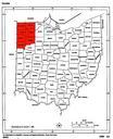
Appalachian Ohio Counties. Map derived from org MapofOhiohighlightingOttawaCounty itself created from public domain source Map intended to illustrate regions of Appalachian Ohio Maps of counties of Ohio Maps by User Nyttend