Related Images


Download:
| Tiny | 167x128 | View | Download |
| Small | 334x256 | View | Download |
| Medium | 668x512 | View | Download |
| Original png | 770x590 | View | Download |
| Original as jpg | 770x590 | View | Download |
This image was acquired from
wikimedia. It was marked as Public Domain or CC0 and is free to use. To verify, go to the source and check the information there.
Looking for more info about this image?
Try a Google Reverse Image Search for it.
Try a Google Reverse Image Search for it.
Keywords from Image Description:
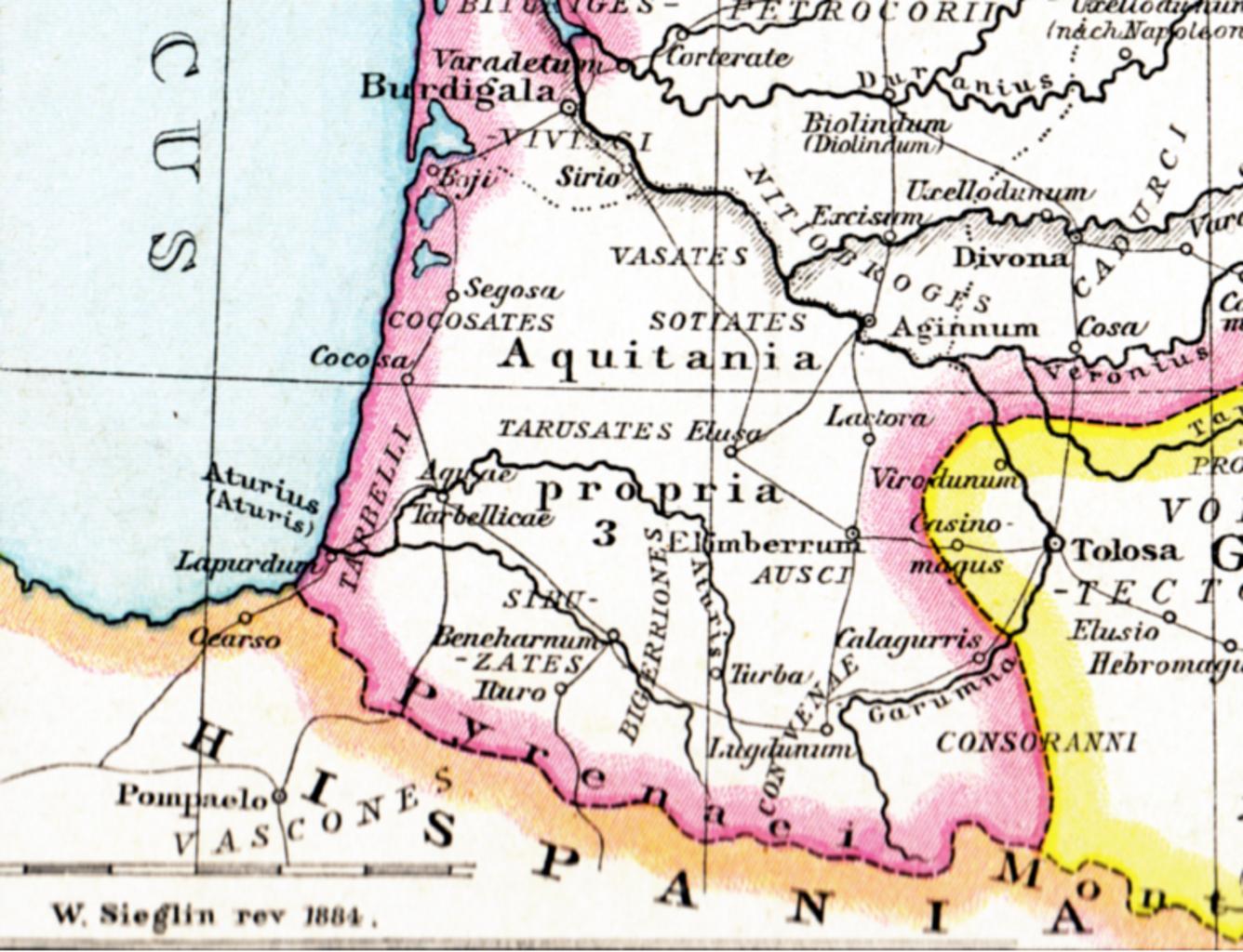
Aquitania . Alte historische Karte Galliens unter Rmischer Herrschaft aus dem Historischen Handatlas von Droysen Droysens Hist Handatlas Gallien Gustav Droysen other versions PDold Aquitani Old maps of Roman Gaul France in the rd century Maps from Allgemeiner Historischer Handatlas