Related Images


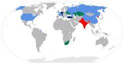
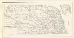
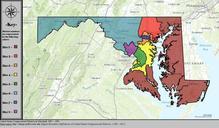
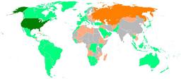

Download:
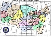
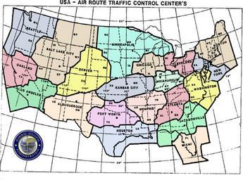
| Tiny | 172x128 | View | Download |
| Small | 345x256 | View | Download |
| Medium | 690x512 | View | Download |
| Original png | 752x558 | View | Download |
| Original as jpg | 752x558 | View | Download |
This image was acquired from
wikimedia. It was marked as Public Domain or CC0 and is free to use. To verify, go to the source and check the information there.
Looking for more info about this image?
Try a Google Reverse Image Search for it.
Try a Google Reverse Image Search for it.
Keywords from Image Description:
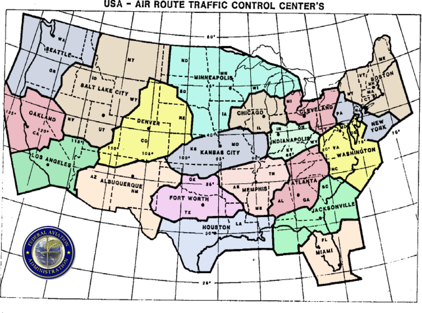
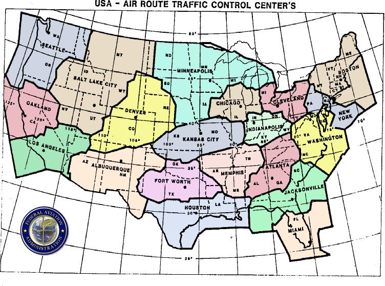
Artccmap. en Airspace map of ARTCCs in the United States overlaid with what states they cover FAA Federal Aviation Administration map PDUSGov Maps of the United States Control zones in aviation Original upload log bytes Jsharpminor no en Airspace map of ARTCCs in the United States overlaid with what states they cover FAA