
Related Images


Download:
| Tiny | 128x128 | View | Download |
| Small | 256x256 | View | Download |
| Medium | 512x512 | View | Download |
| Original png | 600x600 | View | Download |
| Original as jpg | 600x600 | View | Download |
This image was acquired from
wikimedia. It was marked as Public Domain or CC0 and is free to use. To verify, go to the source and check the information there.
Looking for more info about this image?
Try a Google Reverse Image Search for it.
Try a Google Reverse Image Search for it.
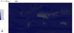
Keywords from Image Description:
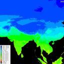
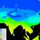
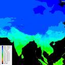
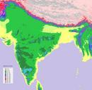
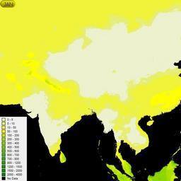
AsiaMonthlyPrecipitation. Monthly precipitation over Asia generated using DIVAGIS using data from worldclim layers own Shyamal PDown Animated Weather maps of India Maps of the Indian Subcontinent Animations of India