
Related Images
Download:
| Tiny | 207x128 | View | Download |
| Small | 414x256 | View | Download |
| Medium | 828x512 | View | Download |
| Large | 1656x1024 | View | Download |
| Original | 9000x5562 | View | Download |
This image was acquired from
wikimedia. It was marked as Public Domain or CC0 and is free to use. To verify, go to the source and check the information there.
Looking for more info about this image?
Try a Google Reverse Image Search for it.
Try a Google Reverse Image Search for it.
Keywords from Image Description:
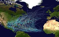
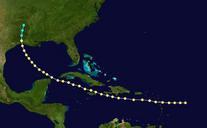
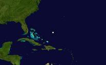
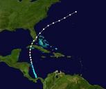
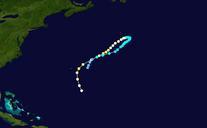
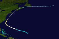
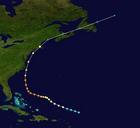
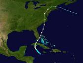
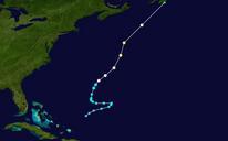
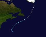
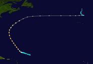
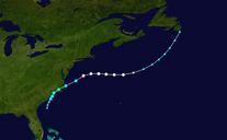
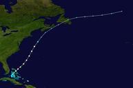
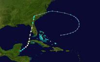
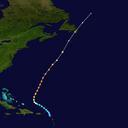
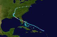
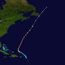
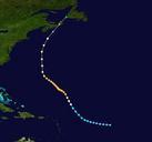
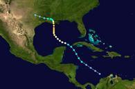
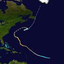
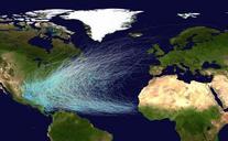
Atlantic hurricane tracks. right border cellspacing cellpadding style background transparenttextalign center nowrap nowrap SaffirSimpson Hurricane Scale mph km This map shows the tracks of all Atlantic hurricanes which formed between and The points show the locations of the storms at sixhourly intervals and use the color