
Related Images


Download:
| Tiny | 135x128 | View | Download |
| Small | 271x256 | View | Download |
| Medium | 542x512 | View | Download |
| Original | 552x521 | View | Download |
This image was acquired from
wikimedia. It was marked as Public Domain or CC0 and is free to use. To verify, go to the source and check the information there.
Looking for more info about this image?
Try a Google Reverse Image Search for it.
Try a Google Reverse Image Search for it.
Keywords from Image Description:
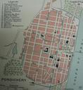
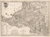
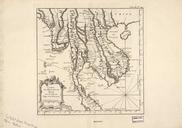
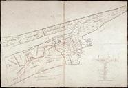
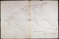
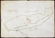
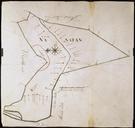
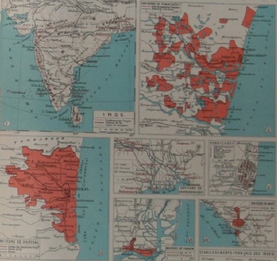
Atlas des Colonies India . en Page from L'Illustration's Atlas de la France et de ses colonies showing maps of the five noncontiguous tablissements settlements forming French India The top right inset shows the tablissement of Pondichry English Pondicherry with its separate exclaves now Puducherry District The bottom left inset