Related Images


Download:
| Tiny | 128x128 | View | Download |
| Small | 256x256 | View | Download |
| Medium | 512x512 | View | Download |
| Original png | 1024x1024 | View | Download |
| Original as jpg | 1024x1024 | View | Download |
This image was acquired from
wikimedia. It was marked as Public Domain or CC0 and is free to use. To verify, go to the source and check the information there.
Looking for more info about this image?
Try a Google Reverse Image Search for it.
Try a Google Reverse Image Search for it.
Keywords from Image Description:
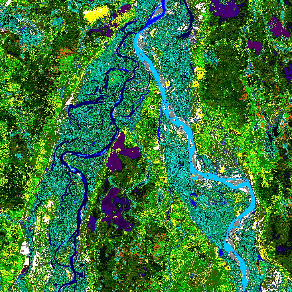
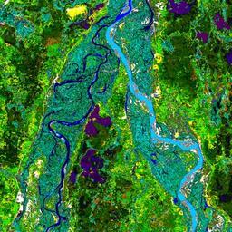
BananalIslandNorthEndLandsat. Landsat image of the northern end of Bananal Island Landsat geog ucsb edu Landsat US Government Public Domain PDUSGovNOAA PDUSGov Landsat images Satellite pictures of islands Bananal Island Araguaia River Original upload log bytes Bejnar no Landsat image of the northern end of Bananal