
Related Images


Download:
| Tiny | 101x128 | View | Download |
| Small | 202x256 | View | Download |
| Medium | 404x512 | View | Download |
| Large | 808x1024 | View | Download |
| Original | 2851x3610 | View | Download |
This image was acquired from
wikimedia. It was marked as Public Domain or CC0 and is free to use. To verify, go to the source and check the information there.
Looking for more info about this image?
Try a Google Reverse Image Search for it.
Try a Google Reverse Image Search for it.
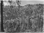
Keywords from Image Description:
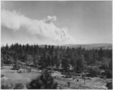
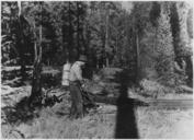
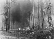
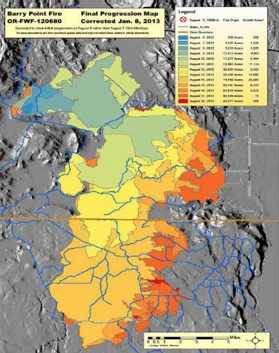
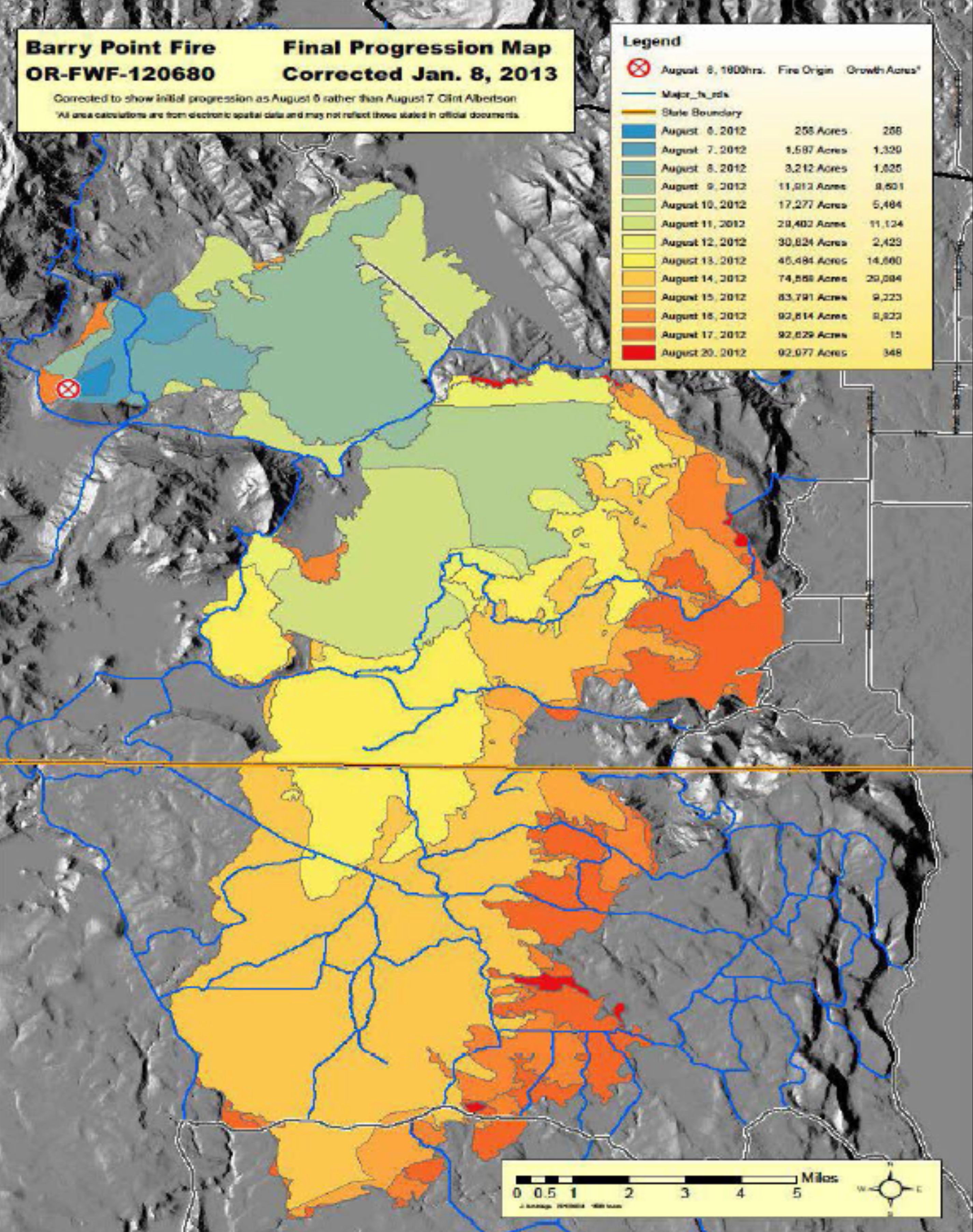
Barry Point Fire map Oregon and California . en Fire progress map for the Barry Point Fire large wildfire that burned forest land in south central Oregon and northeastern California in fs usda gov pdf United States Forest Service other versions PDUSGov Uploaded with FremontWinema National Forest Modoc National Forest Wildfires