Related Images

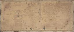

Download:
| Tiny | 192x128 | View | Download |
| Small | 384x256 | View | Download |
| Medium | 768x512 | View | Download |
| Large | 1536x1024 | View | Download |
| Original | 3888x2592 | View | Download |
This image was acquired from
wikimedia. It was marked as Public Domain or CC0 and is free to use. To verify, go to the source and check the information there.
Looking for more info about this image?
Try a Google Reverse Image Search for it.
Try a Google Reverse Image Search for it.
Keywords from Image Description:
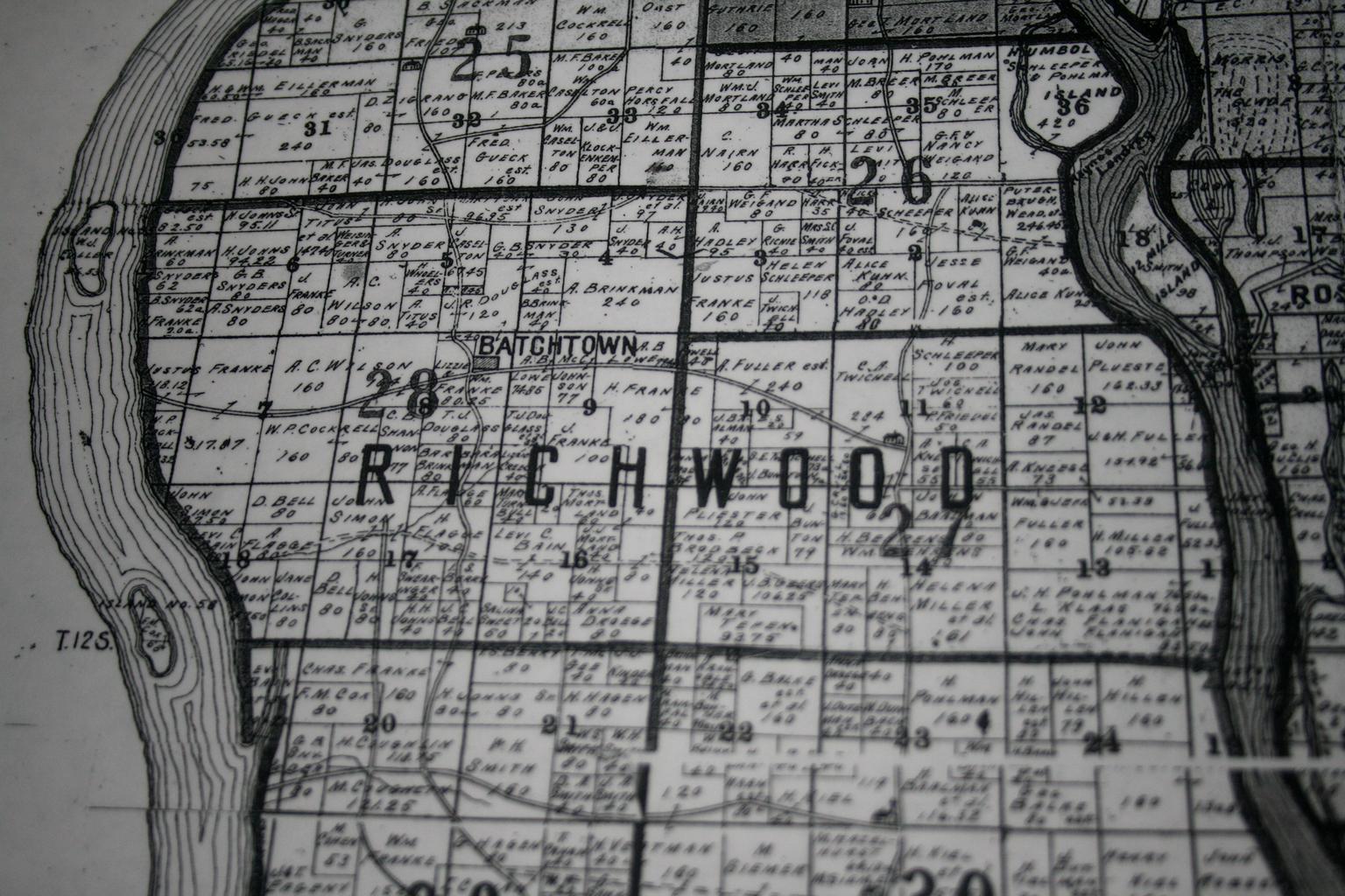
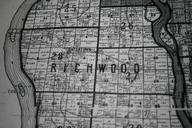
Batchtown Map. Batchtown area shows borders of school districts and in Richwood Precinct Calhoun County Illinois at the time Map in Calhoun Historical Society Calhoun County PDold Maps of Calhoun County Illinois Batchtown Illinois Cadastral maps of the United States Old maps of Illinois maps School districts in Illinois Maps