Download:
| Tiny | 169x128 | View | Download |
| Small | 339x256 | View | Download |
| Medium | 679x512 | View | Download |
| Original png | 983x741 | View | Download |
| Original as jpg | 983x741 | View | Download |
This image was acquired from
wikimedia. It was marked as Public Domain or CC0 and is free to use. To verify, go to the source and check the information there.
Looking for more info about this image?
Try a Google Reverse Image Search for it.
Try a Google Reverse Image Search for it.
Keywords from Image Description:
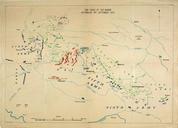
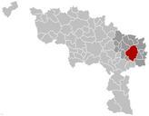
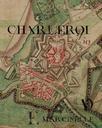
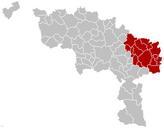
Battles of Charleroi and Mons map. Map of the Battles of Charleroi and Mons southern Belgium during the Battle of the Frontiers August French British and Belgian units are shown in red German units are shown in blue Fortress towns are marked with shaded red circle originally uploaded by Gsl to English Gsl Gsl en DEFAULTSORT Charleroi


