Related Images


Download:
| Tiny | 151x128 | View | Download |
| Small | 302x256 | View | Download |
| Medium | 605x512 | View | Download |
| Original | 871x736 | View | Download |
This image was acquired from
wikimedia. It was marked as Public Domain or CC0 and is free to use. To verify, go to the source and check the information there.
Looking for more info about this image?
Try a Google Reverse Image Search for it.
Try a Google Reverse Image Search for it.
Keywords from Image Description:
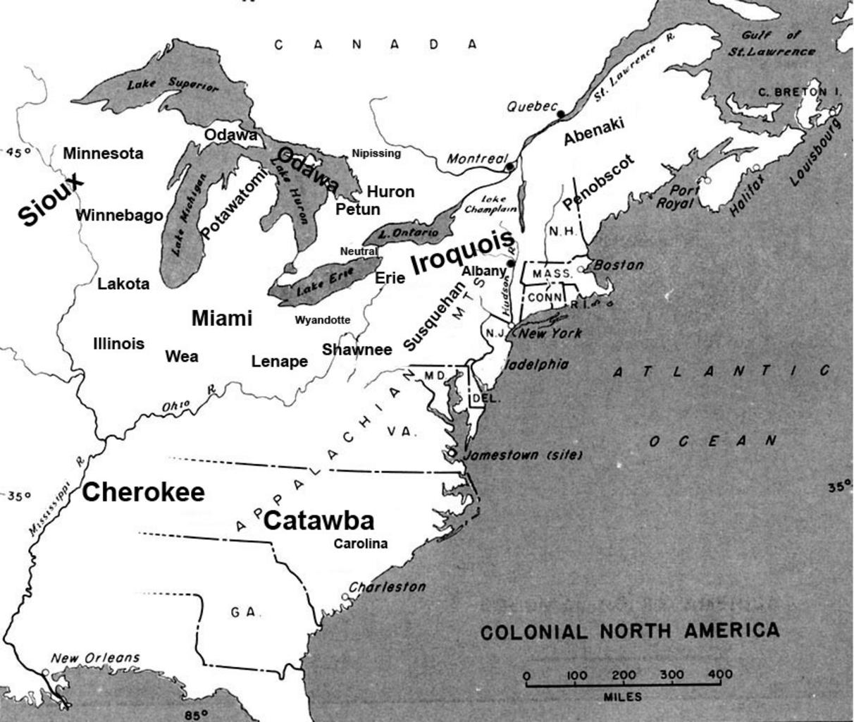
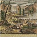
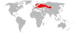
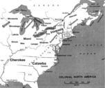
Beaver wars map. en Map of the location of major tribes involved in the Beaver Wars laid against period map showing colonial settlments own Charles Edward Info This represents the approximate configuration of the tribes in Although the areas are large the populations were low and large parts of the territories where uninhabited