Related Images


Download:
| Tiny | 96x128 | View | Download |
| Small | 192x256 | View | Download |
| Medium | 384x512 | View | Download |
| Large | 768x1024 | View | Download |
| Original | 2112x2816 | View | Download |
This image was acquired from
wikimedia. It was marked as Public Domain or CC0 and is free to use. To verify, go to the source and check the information there.
Looking for more info about this image?
Try a Google Reverse Image Search for it.
Try a Google Reverse Image Search for it.
Keywords from Image Description:
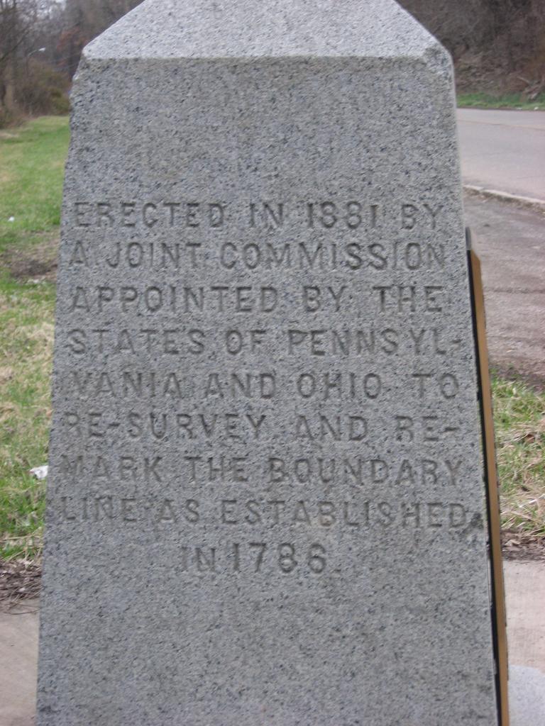
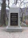
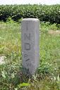
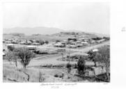
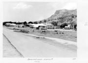
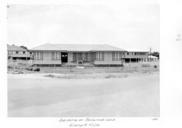
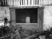
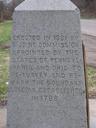
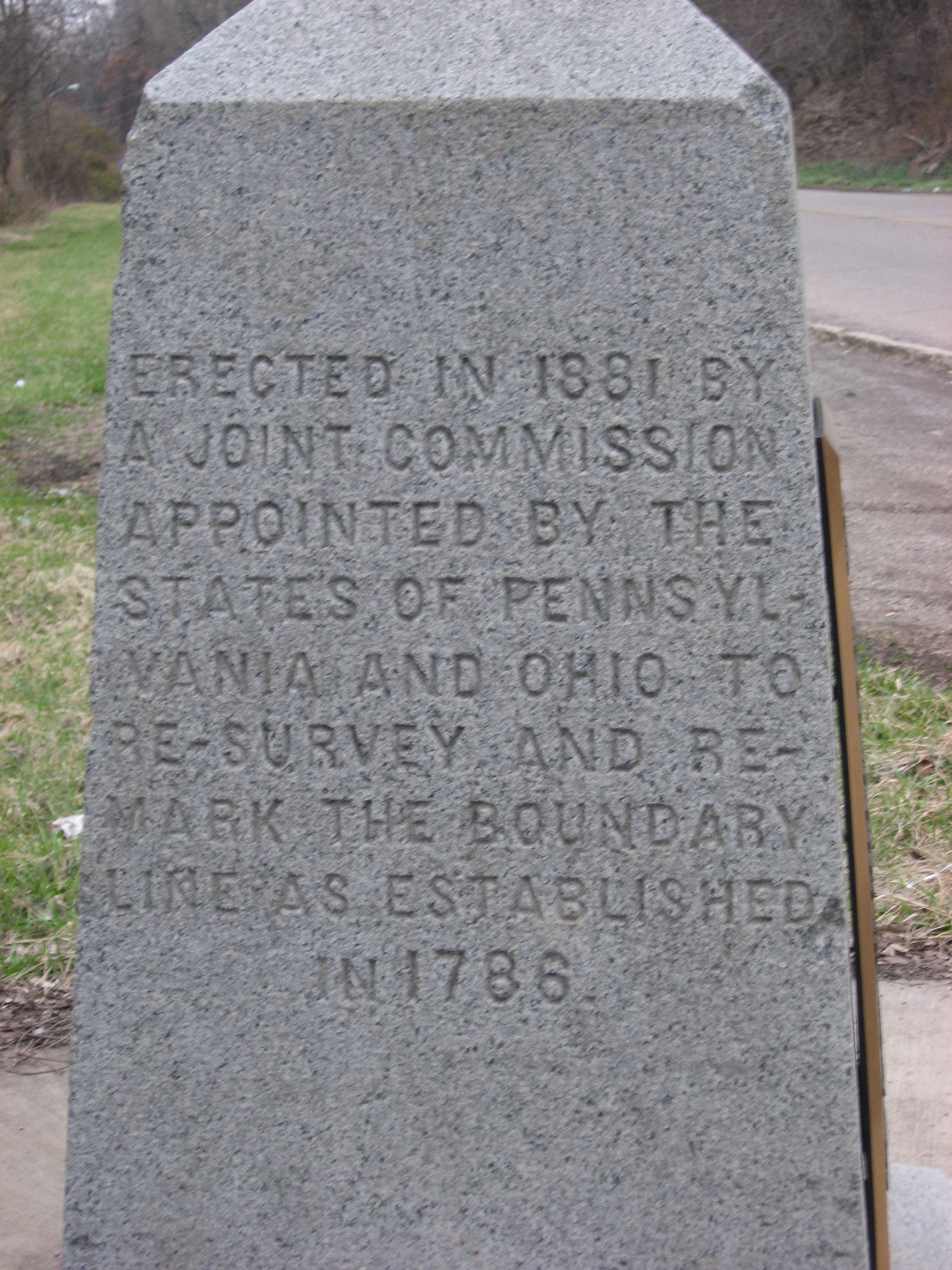
Beginning Point of the U.S. Public Land Survey Ohio. View of the Ohio side of the Beginning Point of the Public Land Survey monument marking the site that served as the basis for the entire Public Land Survey System the system by which most of the United States outside of the original colonies was surveyed Located on the Ohio