
Related Images


Download:
| Tiny | 167x128 | View | Download |
| Small | 334x256 | View | Download |
| Original png | 567x434 | View | Download |
| Original as jpg | 567x434 | View | Download |
This image was acquired from
wikimedia. It was marked as Public Domain or CC0 and is free to use. To verify, go to the source and check the information there.
Looking for more info about this image?
Try a Google Reverse Image Search for it.
Try a Google Reverse Image Search for it.
Keywords from Image Description:
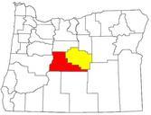
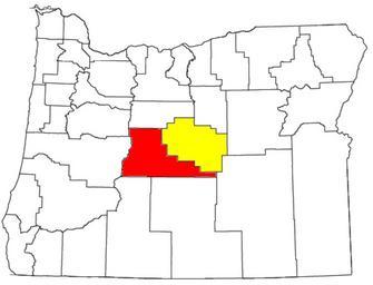
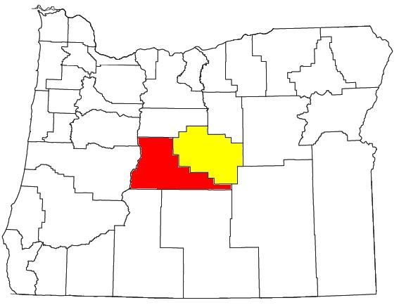
BendPrineville CSA. Locator map of the BendPrineville OR CSA BendPrineville Combined Statistical Area in the central part of the state of Oregon The two components of the CSA are colored separately Deschutes County Oregon Bend Metropolitan Statistical Area red Crook County Oregon Prineville Micropolitan Statistical Area yellow Modified