Related Images

Download:
| Tiny | 85x128 | View | Download |
| Small | 170x256 | View | Download |
| Medium | 341x512 | View | Download |
| Original | 480x720 | View | Download |
This image was acquired from
flickr. It was marked as Public Domain or CC0 and is free to use. To verify, go to the source and check the information there.
Looking for more info about this image?
Try a Google Reverse Image Search for it.
Try a Google Reverse Image Search for it.
Keywords from Image Description:
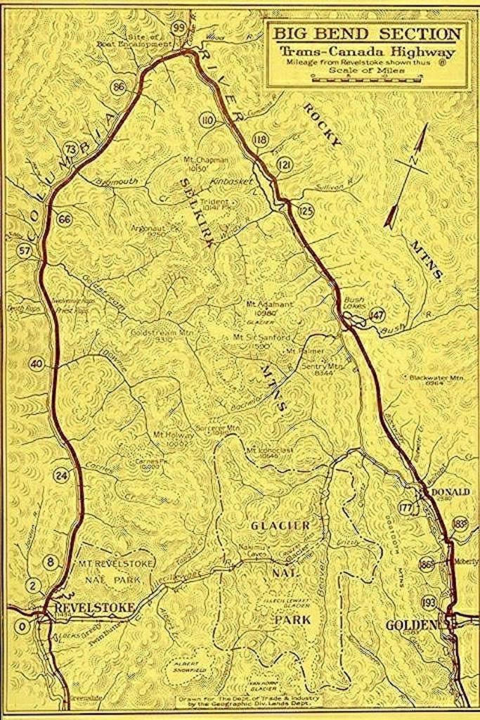
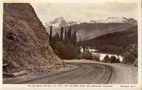
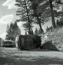
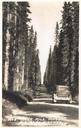
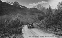
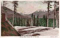
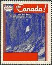
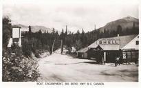
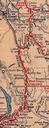
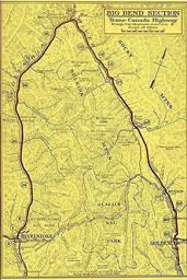
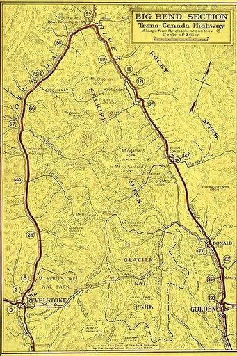
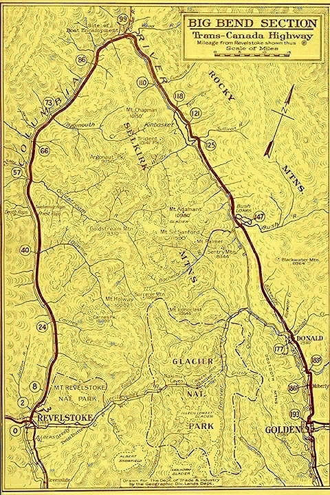
texture sketch map drawing abstract text writing tangle pattern Linking Revelstoke and Golden BC through the Selkirk Mountains along the Columbia River the Big Bend Highway officially opened on June becoming the first interprovincial road link between British Columbia's interior and Alberta and the rest of Canada. The route was


