
Related Images


Download:
| Tiny | 145x128 | View | Download |
| Small | 291x256 | View | Download |
| Medium | 583x512 | View | Download |
| Large | 1167x1024 | View | Download |
| Original | 1262x1107 | View | Download |
This image was acquired from
wikimedia. It was marked as Public Domain or CC0 and is free to use. To verify, go to the source and check the information there.
Looking for more info about this image?
Try a Google Reverse Image Search for it.
Try a Google Reverse Image Search for it.
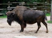
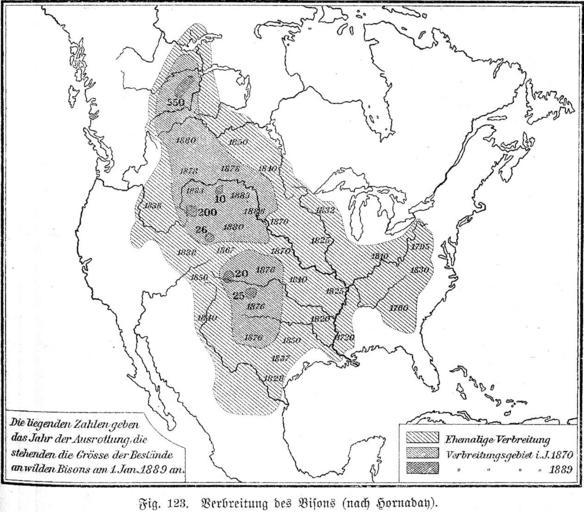
Keywords from Image Description:
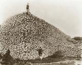
Bisons. The areas where the Bisons lived by the end of the century The map is drawn by William Temple Hornaday scanned the picture from Geographisches Handbuch zu Andrees Handatlas vierte Auflage Bielefeld und Leipzig Velhagen und Klasing The image was superceded by File Extermination of bison to Olahus PDold Maps of the history