
Related Images


Download:
| Tiny | 128x128 | View | Download |
| Small | 256x256 | View | Download |
| Medium | 512x512 | View | Download |
| Large | 1024x1024 | View | Download |
| Original png | 5255x5255 | View | Download |
| Original as jpg | 5255x5255 | View | Download |
This image was acquired from
wikimedia. It was marked as Public Domain or CC0 and is free to use. To verify, go to the source and check the information there.
Looking for more info about this image?
Try a Google Reverse Image Search for it.
Try a Google Reverse Image Search for it.
Keywords from Image Description:
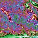
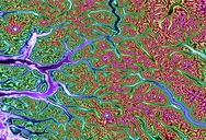
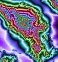
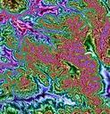
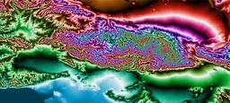
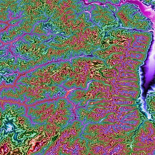
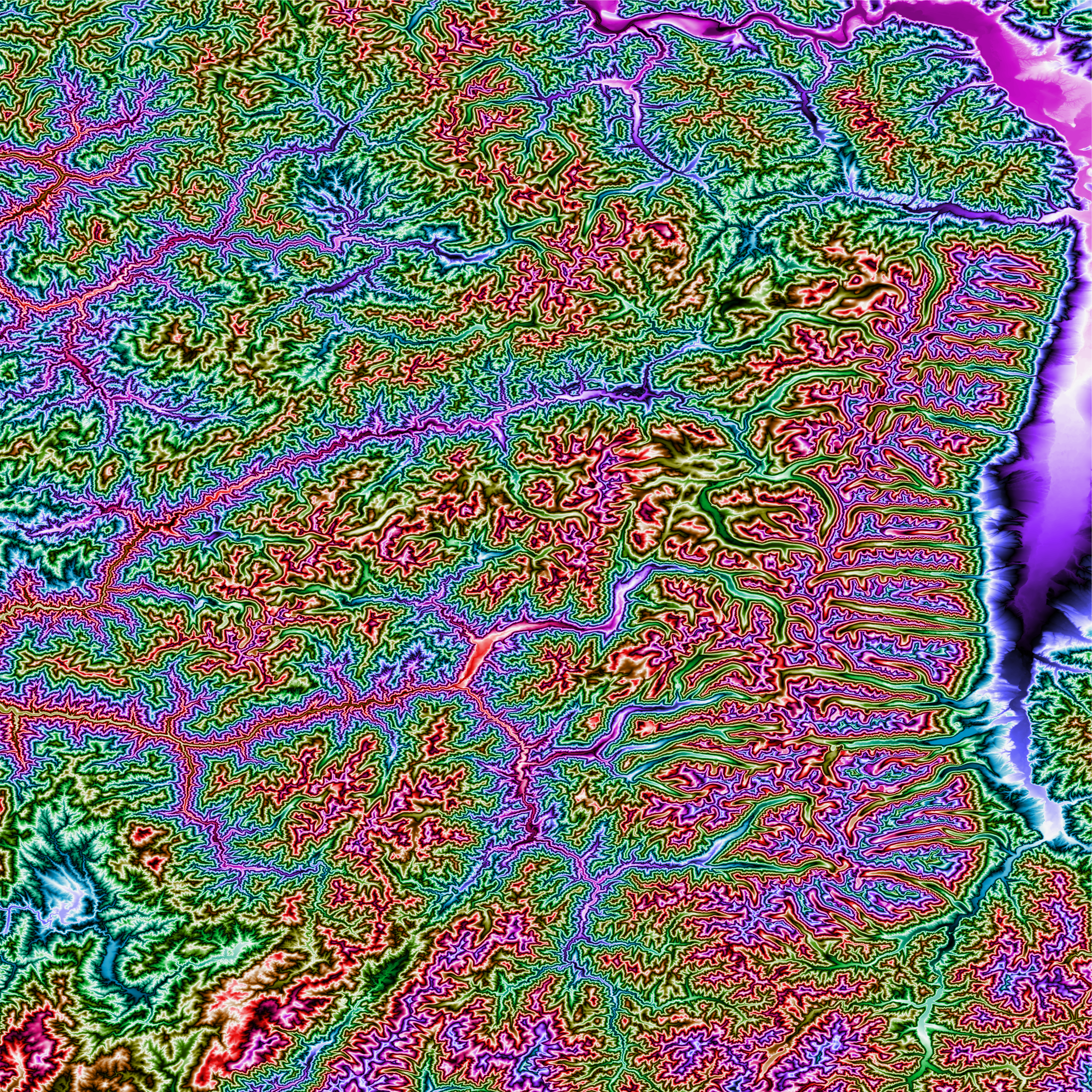
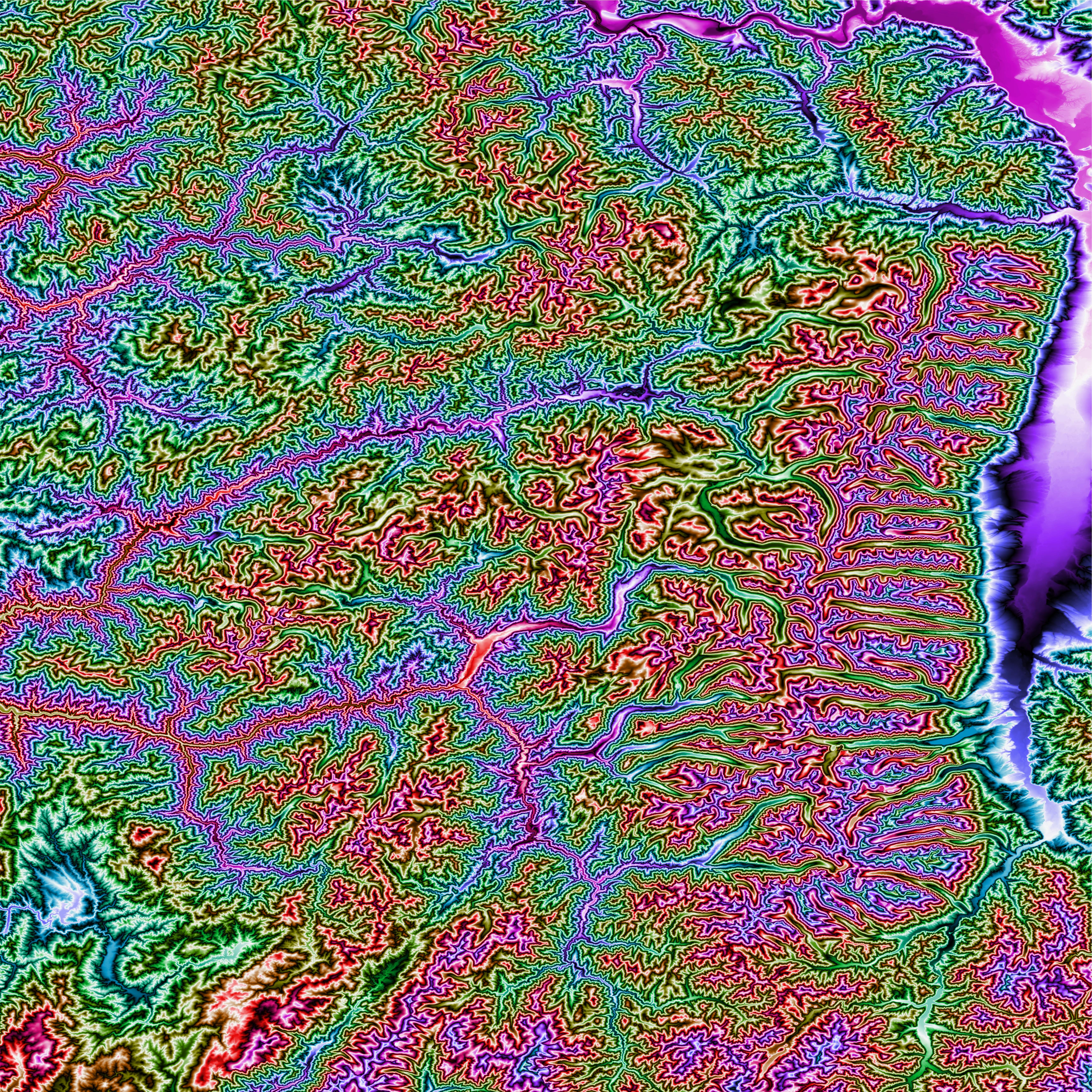
Bitterroot Mtns nor cen Idaho Topo Rainbow Zebra . en This topographic map shows the Bitterroot Mountain Range along the IdahoMontana border and some rugged terrain to the west in northcentral Idaho Produced with Map Render from GHz Limited arc second NED data obtained from the MultiResolution Land Characteristics Consortium website